Transport Functions
Multimodal
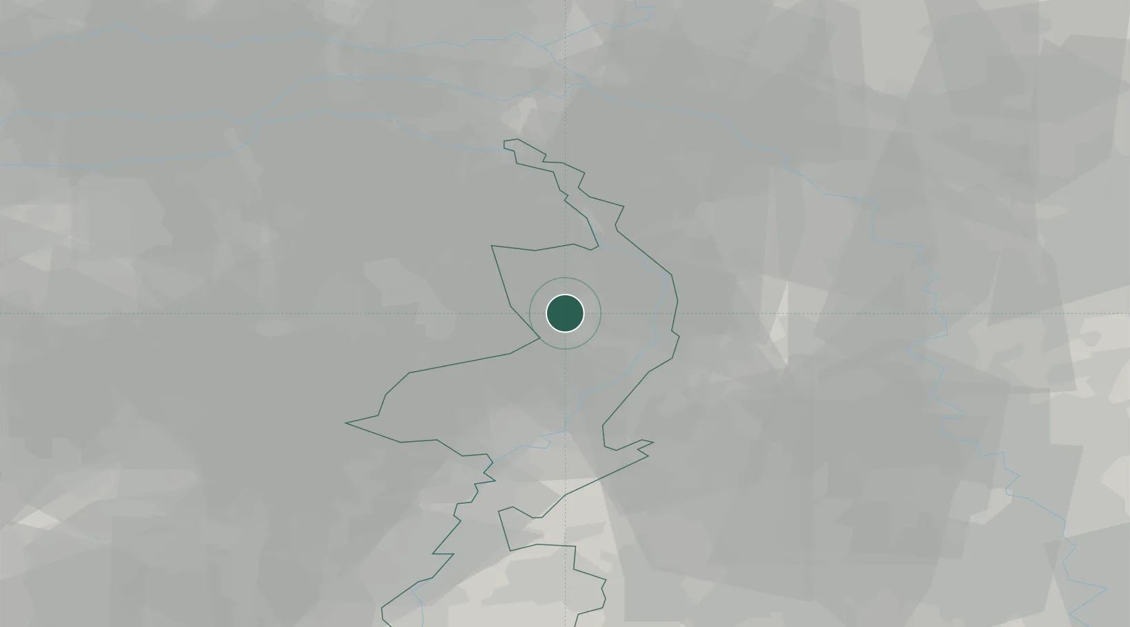
Hub Profile
Place type
Populated place
Region
Limburg
Population
1,175
Time zone
Europe/Amsterdam
Elevation
31 m
Location
Nearby Logistics Neighbours
Cities
- 1Kronenberg2 km
- 2Hegelsom4 km
- 3Veulen6 km
- 4Grashoek8 km
- 5Melderslo8 km
Ports
- 1Dordrecht101 km
- 2Antwerpen113 km
- 3Rotterdam116 km
- 4Schiedam121 km
- 5Vlaardingen124 km
Airports
- 1Weeze (Niederrhein) Airport22 km
- 2Volkel Air Base31 km
- 3Kempen Airport Budel33 km
- 4Eindhoven Airport42 km
- 5Mönchengladbach Airport43 km
Trade Zones
- 1Freeport of Duisburg42 km
- 2Rheinische Revier SWZ65 km
- 3ZFU Maubeuge, Louvroil194 km
- 4ZFU Condé sur lEscaut200 km
- 5Luxembourg Free Port200 km
DatabookThe Record of Consolidated Knowledge
Netherlands beyond logistics?