Transport Functions
Rail
Road
Multimodal
Hub Profile
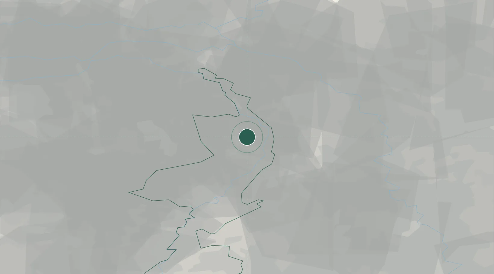
Place type
Populated place
Region
Limburg
Population
1,175
Time zone
Europe/Amsterdam
Elevation
26 m
Location
Nearby Logistics Neighbours
Cities
- 1Broekhuizenvorst5 km
- 2Hegelsom5 km
- 3Oirlo7 km
- 4Arcen7 km
- 5Wanssum7 km
Ports
- 1Dordrecht106 km
- 2Antwerpen120 km
- 3Rotterdam120 km
- 4Schiedam126 km
- 5Vlaardingen129 km
Airports
- 1Weeze (Niederrhein) Airport16 km
- 2Volkel Air Base34 km
- 3Mönchengladbach Airport39 km
- 4Kempen Airport Budel41 km
- 5Eindhoven Airport49 km
Trade Zones
- 1Freeport of Duisburg35 km
- 2Rheinische Revier SWZ65 km
- 3Luxembourg Free Port203 km
- 4ZFU Ronde Couture214 km
- 5Freeport of Emden221 km
DatabookThe Record of Consolidated Knowledge
Netherlands beyond logistics?