Transport Functions
Multimodal
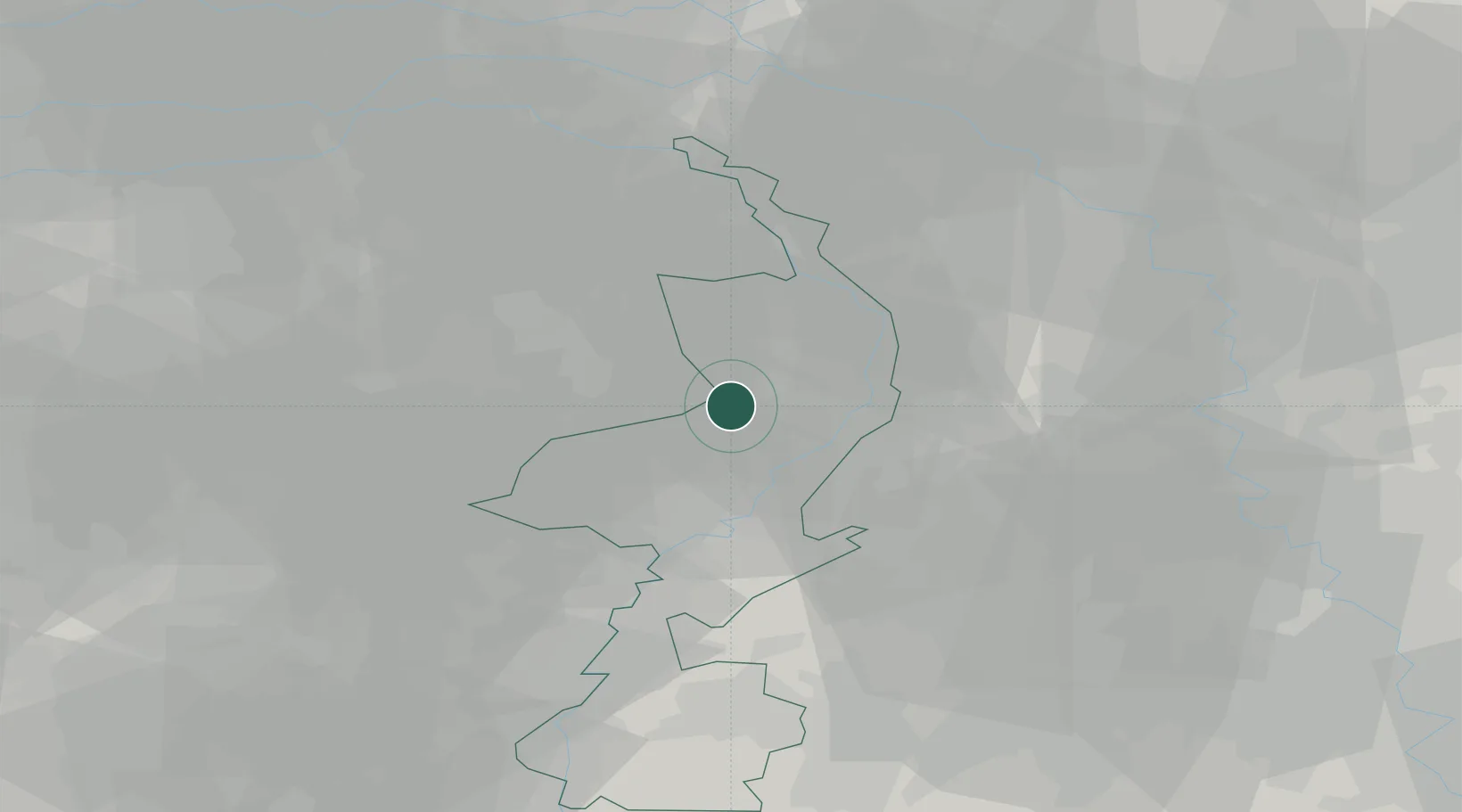
Hub Profile
Place type
Populated place
Region
Limburg
Population
1,355
Time zone
Europe/Amsterdam
Elevation
35 m
Location
Nearby Logistics Neighbours
Cities
- 1Koningslust4 km
- 2Kronenberg7 km
- 3Maasbree7 km
- 4America8 km
- 5Hegelsom9 km
Airports
- 1Kempen Airport Budel27 km
- 2Weeze (Niederrhein) Airport29 km
- 3Volkel Air Base36 km
- 4Kleine Brogel Air Base40 km
- 5Eindhoven Airport41 km
Trade Zones
- 1Freeport of Duisburg45 km
- 2Rheinische Revier SWZ59 km
- 3ZFU Maubeuge, Louvroil188 km
- 4Luxembourg Free Port193 km
- 5ZFU Condé sur lEscaut194 km
DatabookThe Record of Consolidated Knowledge
Netherlands beyond logistics?