Transport Functions
Multimodal
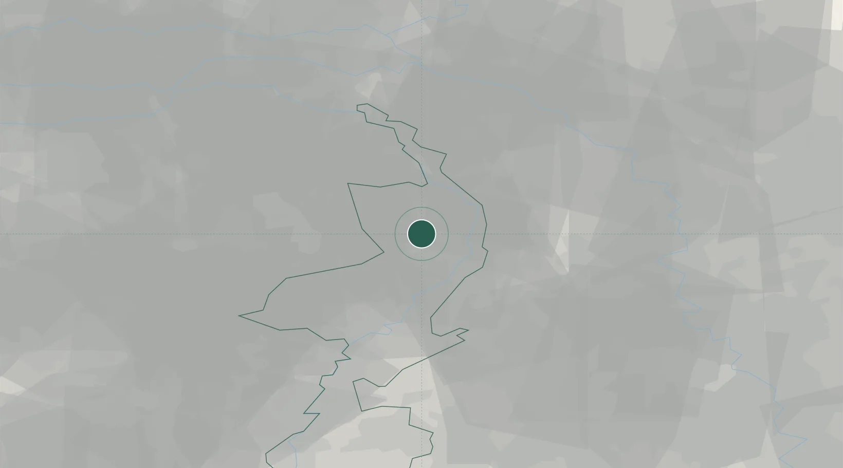
Hub Profile
Place type
Populated place
Region
Limburg
Population
1,185
Time zone
Europe/Amsterdam
Elevation
28 m
Location
Nearby Logistics Neighbours
Cities
- 1Kronenberg3 km
- 2America4 km
- 3Melderslo5 km
- 4Venlo8 km
- 5Veulen8 km
Ports
- 1Dordrecht105 km
- 2Antwerpen116 km
- 3Rotterdam119 km
- 4Schiedam124 km
- 5Vlaardingen127 km
Airports
- 1Weeze (Niederrhein) Airport20 km
- 2Volkel Air Base34 km
- 3Kempen Airport Budel36 km
- 4Mönchengladbach Airport40 km
- 5Eindhoven Airport46 km
Trade Zones
- 1Freeport of Duisburg39 km
- 2Rheinische Revier SWZ63 km
- 3Luxembourg Free Port200 km
- 4ZFU Ronde Couture209 km
- 5Freeport of Emden226 km
DatabookThe Record of Consolidated Knowledge
Netherlands beyond logistics?