Transport Functions
Port
Road
Hub Profile
Place type
Populated place
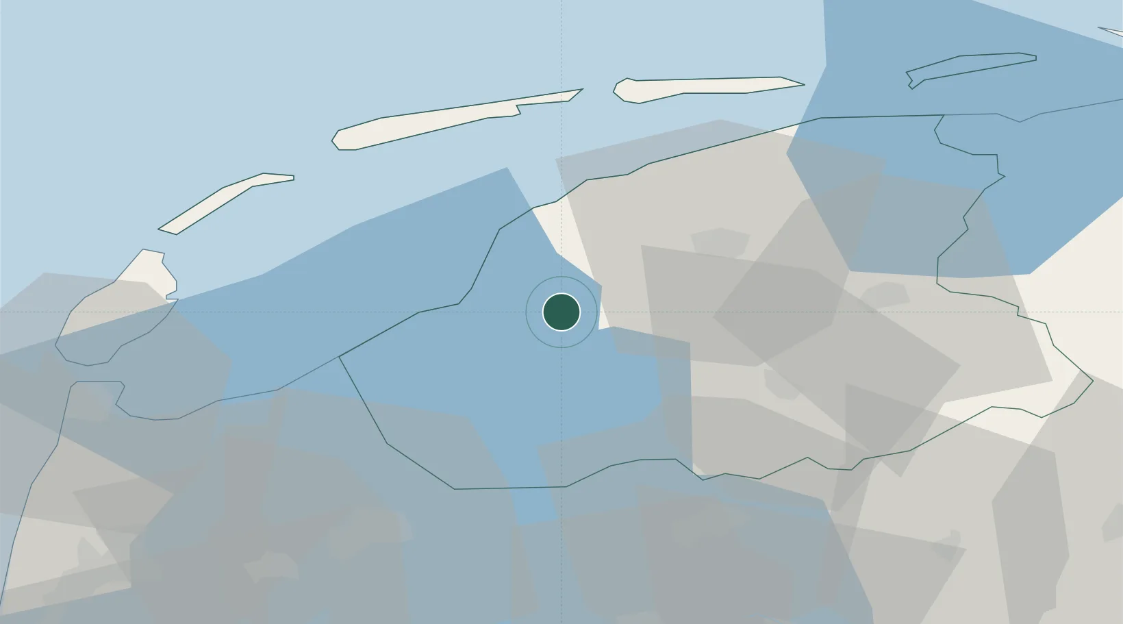
Region
Friesland
Population
255
Time zone
Europe/Amsterdam
Elevation
1 m
Location
Nearby Logistics Neighbours
Cities
- 1Tjerkwerd5 km
- 2Exmorrazijl6 km
- 3Leons7 km
- 4Oosthem8 km
- 5Heerenveen9 km
Ports
- 1Harlingen14 km
- 2Den Helder53 km
- 3Zaandam87 km
- 4Amsterdam91 km
- 5Ijmuiden95 km
Airports
- 1Leeuwarden Air Base21 km
- 2De Kooy Airfield / Den Helder Naval Air Station55 km
- 3Groningen Airport Eelde69 km
- 4Lelystad Airport70 km
- 5Borkum Airport96 km
Trade Zones
DatabookThe Record of Consolidated Knowledge
Netherlands beyond logistics?