Transport Functions
Port
Road
Hub Profile
Region
NH
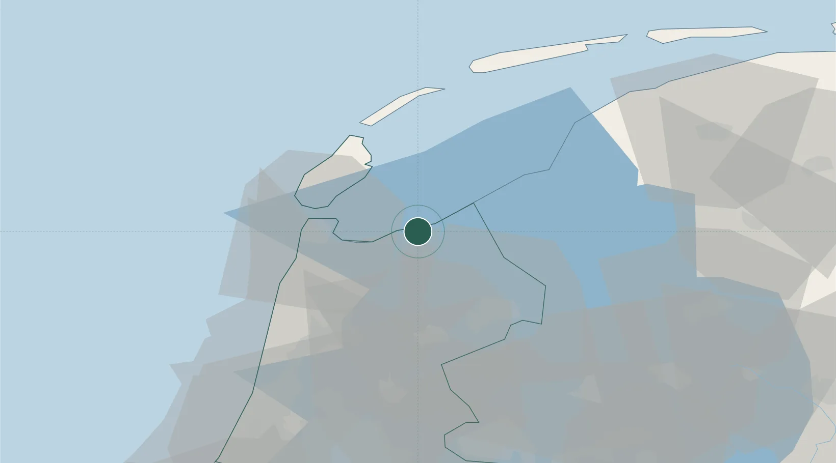
Location
Nearby Logistics Neighbours
Cities
- 1Stroe3 km
- 2De Haukes9 km
- 3Wieringermeer9 km
- 4Anna Paulowna13 km
- 5Middenmeer15 km
Ports
- 1Den Helder17 km
- 2Harlingen38 km
- 3Zaandam57 km
- 4Ijmuiden60 km
- 5Amsterdam64 km
Airports
Trade Zones
DatabookThe Record of Consolidated Knowledge
Netherlands beyond logistics?