Transport Functions
Multimodal
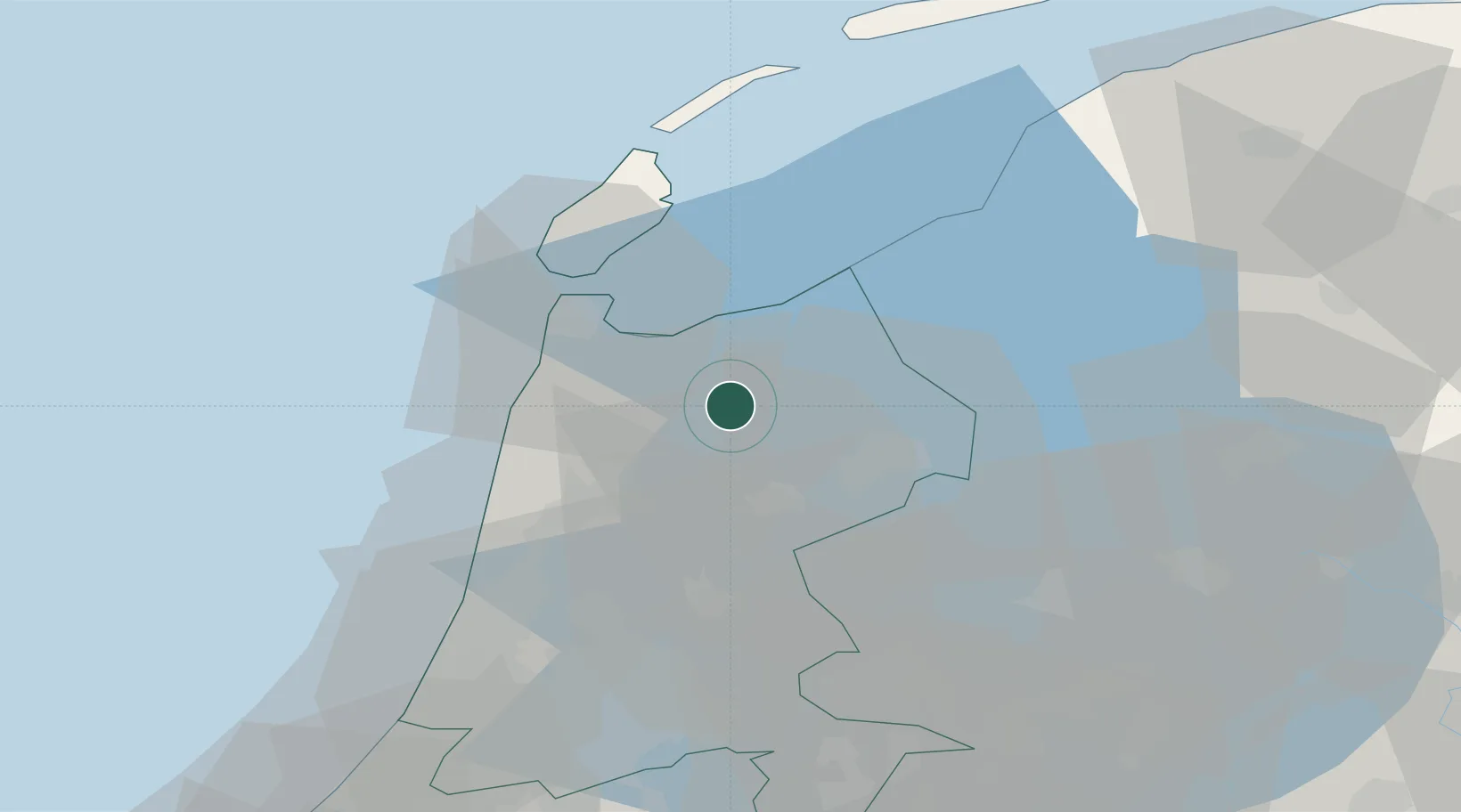
Hub Profile
Place type
Populated place
Region
North Holland
Population
3,155
Time zone
Europe/Amsterdam
Elevation
-3 m
Location
Nearby Logistics Neighbours
Cities
- 1Wieringermeer6 km
- 2De Strook7 km
- 3Kolhorn8 km
- 4Kreil9 km
- 5Barsingerhorn10 km
Ports
- 1Den Helder24 km
- 2Zaandam42 km
- 3Ijmuiden47 km
- 4Amsterdam49 km
- 5Harlingen51 km
Airports
Trade Zones
DatabookThe Record of Consolidated Knowledge
Netherlands beyond logistics?