Transport Functions
Port
Road
Hub Profile
Region
NH
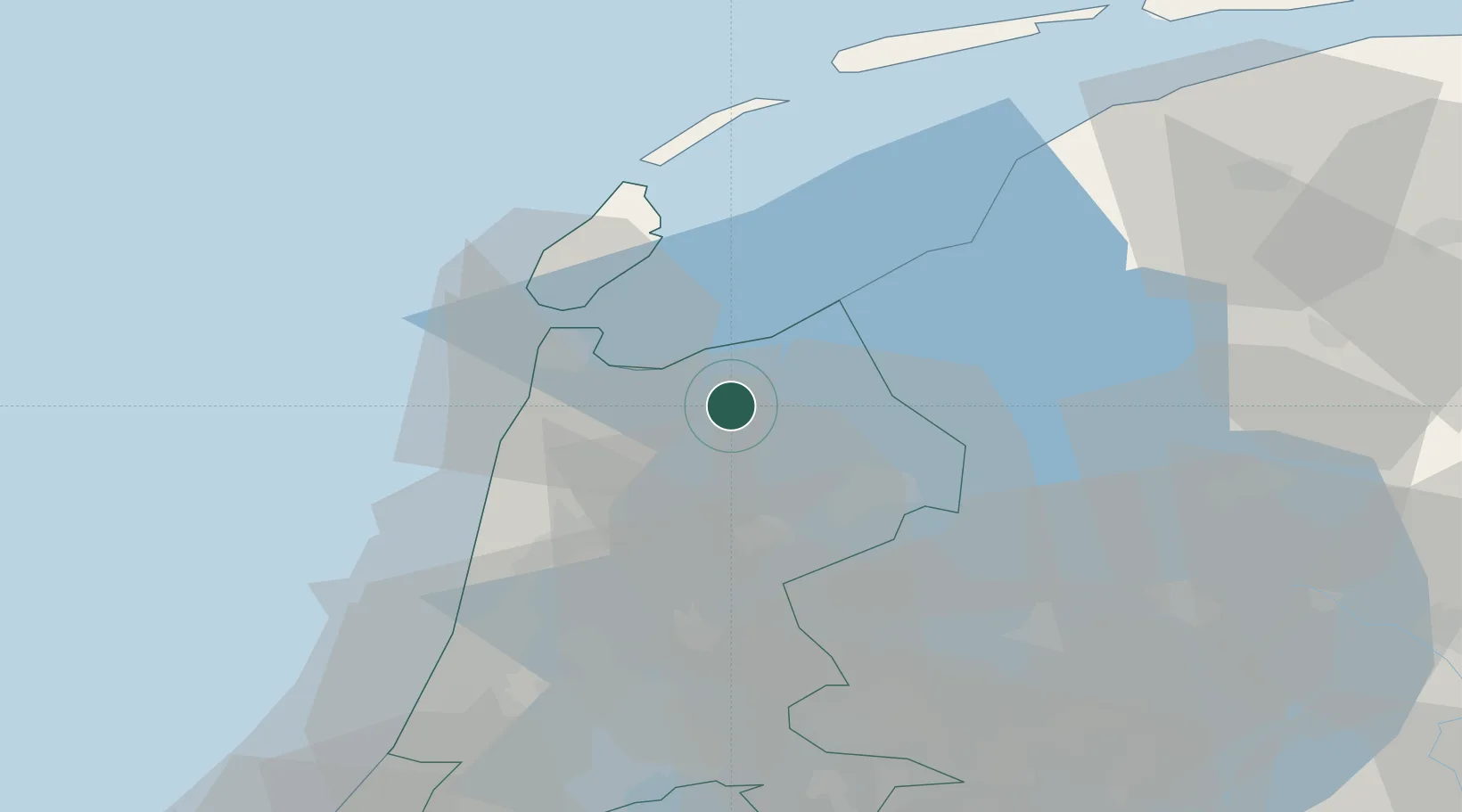
Location
Nearby Logistics Neighbours
Cities
- 1Middenmeer6 km
- 2De Haukes7 km
- 3Wieringen/Den Oever9 km
- 4Stroe10 km
- 5Anna Paulowna10 km
Ports
- 1Den Helder20 km
- 2Harlingen46 km
- 3Zaandam48 km
- 4Ijmuiden52 km
- 5Amsterdam54 km
Airports
- 1De Kooy Airfield / Den Helder Naval Air Station18 km
- 2Lelystad Airport56 km
- 3Amsterdam Airport Schiphol63 km
- 4Leeuwarden Air Base65 km
- 5Deelen Air Base105 km
Trade Zones
DatabookThe Record of Consolidated Knowledge
Netherlands beyond logistics?