Transport Functions
Port
Road
Hub Profile
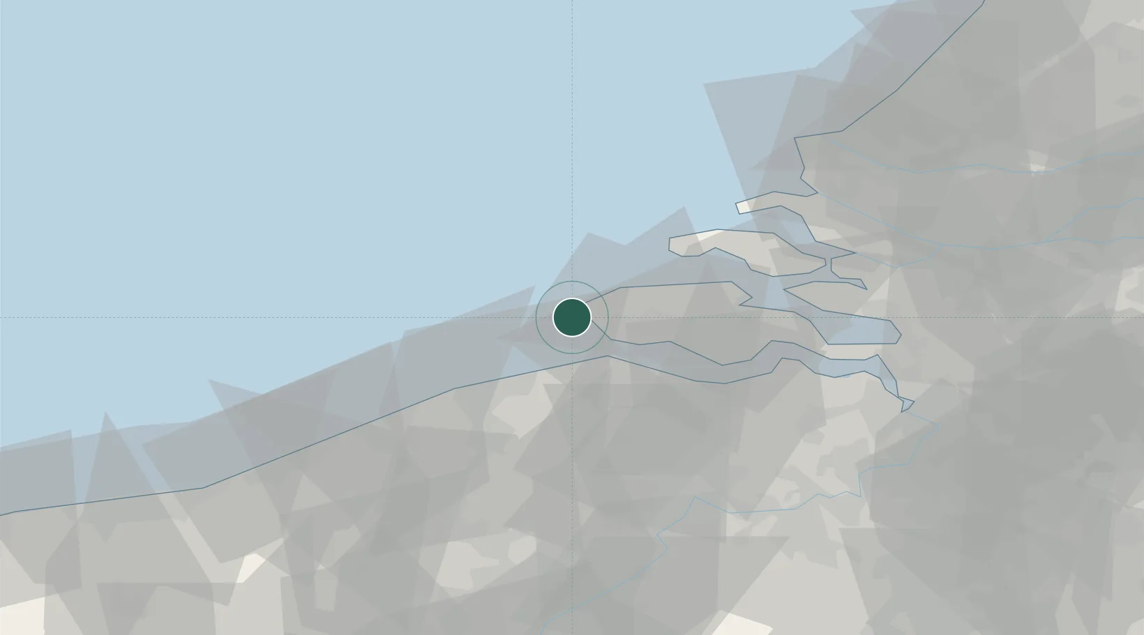
Place type
Populated place
Region
Zeeland
Population
2,515
Time zone
Europe/Amsterdam
Elevation
3 m
Location
Nearby Logistics Neighbours
Cities
- 1Zoutelande3 km
- 2Valkenisse5 km
- 3Domburg7 km
- 4Groede16 km
- 5Veere17 km
Ports
- 1Vlissingen14 km
- 2Zeebrugge26 km
- 3Terneuzen32 km
- 4Bruges35 km
- 5Hansweert40 km
Airports
Trade Zones
- 1ZFU Tourcoing90 km
- 2ZFU Saint Pol sur Mer94 km
- 3ZFU Hem et Roubaix94 km
- 4ZFU de Lille et de Loos103 km
- 5ZFU Condé sur lEscaut117 km
DatabookThe Record of Consolidated Knowledge
Netherlands beyond logistics?