Transport Functions
Rail
Road
Postal
Fixed Transport
Hub Profile
Place type
Populated place
Region
Zeeland
Population
720
Time zone
Europe/Amsterdam
Elevation
3 m
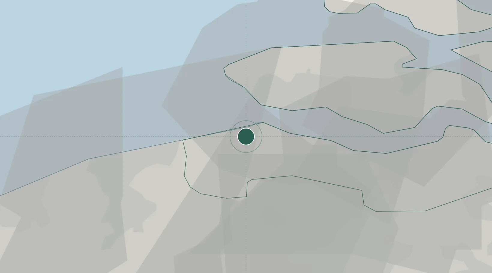
Location
Nearby Logistics Neighbours
Cities
- 1Breskens5 km
- 2Cadzand7 km
- 3Hoofdplaat11 km
- 4IJzendijke11 km
- 5Valkenisse13 km
Ports
- 1Vlissingen10 km
- 2Zeebrugge22 km
- 3Terneuzen22 km
- 4Bruges26 km
- 5Hansweert36 km
Airports
Trade Zones
- 1ZFU Tourcoing77 km
- 2ZFU Hem et Roubaix81 km
- 3ZFU Saint Pol sur Mer90 km
- 4ZFU de Lille et de Loos90 km
- 5ZFU Condé sur lEscaut102 km
DatabookThe Record of Consolidated Knowledge
Netherlands beyond logistics?