UN/LOCODE hub · Netherlands
NLWGD
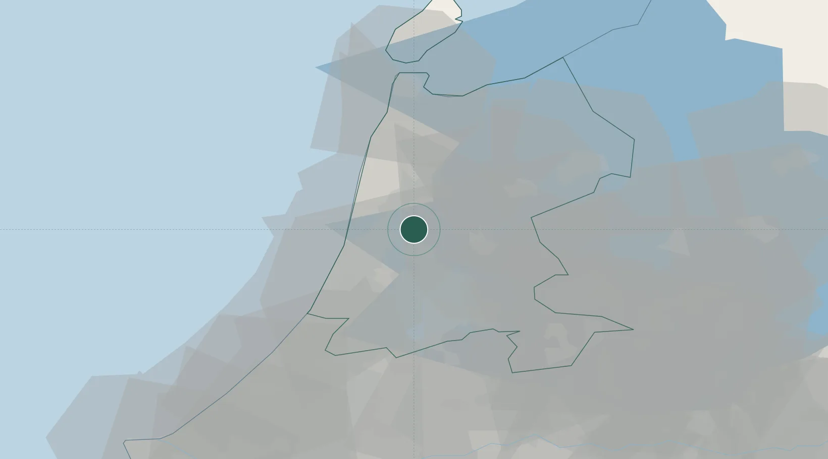
West-Graftdijk
52.5500°, 4.7833°
670
Population
2
Transport functions
Transport Functions
Port
Road
Hub Profile
Place type
Populated place
Region
North Holland
Population
670
Time zone
Europe/Amsterdam
Elevation
-1 m
Location
Nearby Logistics Neighbours
Cities
- 1De Rijp5 km
- 2Uitgeest5 km
- 3Wormer6 km
- 4Westbeemster7 km
- 5Stompetoren8 km
Ports
- 1Zaandam13 km
- 2Ijmuiden16 km
- 3Amsterdam22 km
- 4Den Helder46 km
- 5Scheveningen61 km
Airports
Trade Zones
- 1Freeport of Duisburg174 km
- 2Freeport of Emden183 km
- 3Rheinische Revier SWZ213 km
- 4ZFU Tourcoing232 km
- 5ZFU Hem et Roubaix235 km
DatabookThe Record of Consolidated Knowledge
Netherlands beyond logistics?