Transport Functions
Port
Rail
Road
Hub Profile
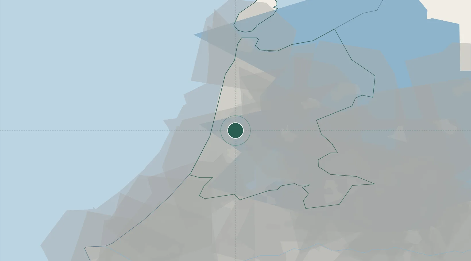
Place type
Populated place
Region
North Holland
Population
11,794
Time zone
Europe/Amsterdam
Elevation
1 m
Location
Nearby Logistics Neighbours
Cities
- 1West-Graftdijk5 km
- 2Wormer8 km
- 3Velsen-Noord9 km
- 4Velsen9 km
- 5Haaldersbroek10 km
Ports
- 1Ijmuiden12 km
- 2Zaandam14 km
- 3Amsterdam22 km
- 4Den Helder48 km
- 5Scheveningen57 km
Airports
Trade Zones
- 1Freeport of Duisburg176 km
- 2Freeport of Emden188 km
- 3Rheinische Revier SWZ214 km
- 4ZFU Tourcoing228 km
- 5ZFU Hem et Roubaix231 km
DatabookThe Record of Consolidated Knowledge
Netherlands beyond logistics?