UN/LOCODE hub · Netherlands
NLVWO

Veenwouden

53.2333°, 5.9833°
1
Transport functions

Transport Functions

Multimodal
UN/LOCODE

Hub Profile

Region
FR
GeoNames

Location

Location of NLVWO
Natural Earth 10m (public domain) · FR · NLVWO · 53.23, 5.98GoogleOSMYandex

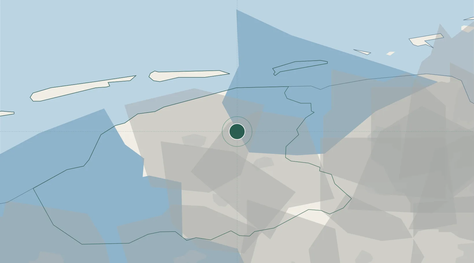
Nearby Logistics Neighbours

Cities
  1. 1Kuikhorne3 km
  2. 2Twijzelerheide5 km
  3. 3Kootstertille8 km
  4. 4Driesum9 km
  5. 5Oostermeer9 km
Nearest neighbours — logibook spatial index (haversine) over the source coordinates
Ports
  1. 1Harlingen38 km
  2. 2Eemshaven61 km
  3. 3Delfzijl64 km
  4. 4Emden81 km
  5. 5Den Helder85 km
Nearest neighbours — logibook spatial index (haversine) over the source coordinates
Airports
  1. 1Leeuwarden Air Base15 km
  2. 2Groningen Airport Eelde42 km
  3. 3Borkum Airport63 km
  4. 4Emden Airport85 km
  5. 5Juist Airport87 km
Nearest neighbours — logibook spatial index (haversine) over the source coordinates
Trade Zones
  1. 1Freeport of Emden81 km
  2. 2Freeport of Cuxhaven (Freihafen Cuxhaven)183 km
  3. 3Freeport of Bremerhaven (Freihafen Bremerhaven)187 km
  4. 4Freeport of Duisburg203 km
  5. 5Rheinische Revier SWZ260 km
Nearest neighbours — logibook spatial index (haversine) over the source coordinates
DatabookThe Record of Consolidated Knowledge
Netherlands beyond logistics?
Browse databook

All Sources

LocationsUN/LOCODE
UN/LOCODE — free
Portsthe NGA World Port Index
Public domain (US gov)
AirportsOurAirports
Public domain
Trade Zonesthe World Bank SEZ database
CC BY 4.0
Trade ZonesOpen Zone Map
CC BY
← Netherlands locations