UN/LOCODE hub · Netherlands
NLOME

Oostermeer

53.1667°, 6.0500°
2
Transport functions

Transport Functions

Port
Road
UN/LOCODE

Hub Profile

Region
FR
GeoNames

Location

Location of NLOME
Natural Earth 10m (public domain) · FR · NLOME · 53.17, 6.05GoogleOSMYandex

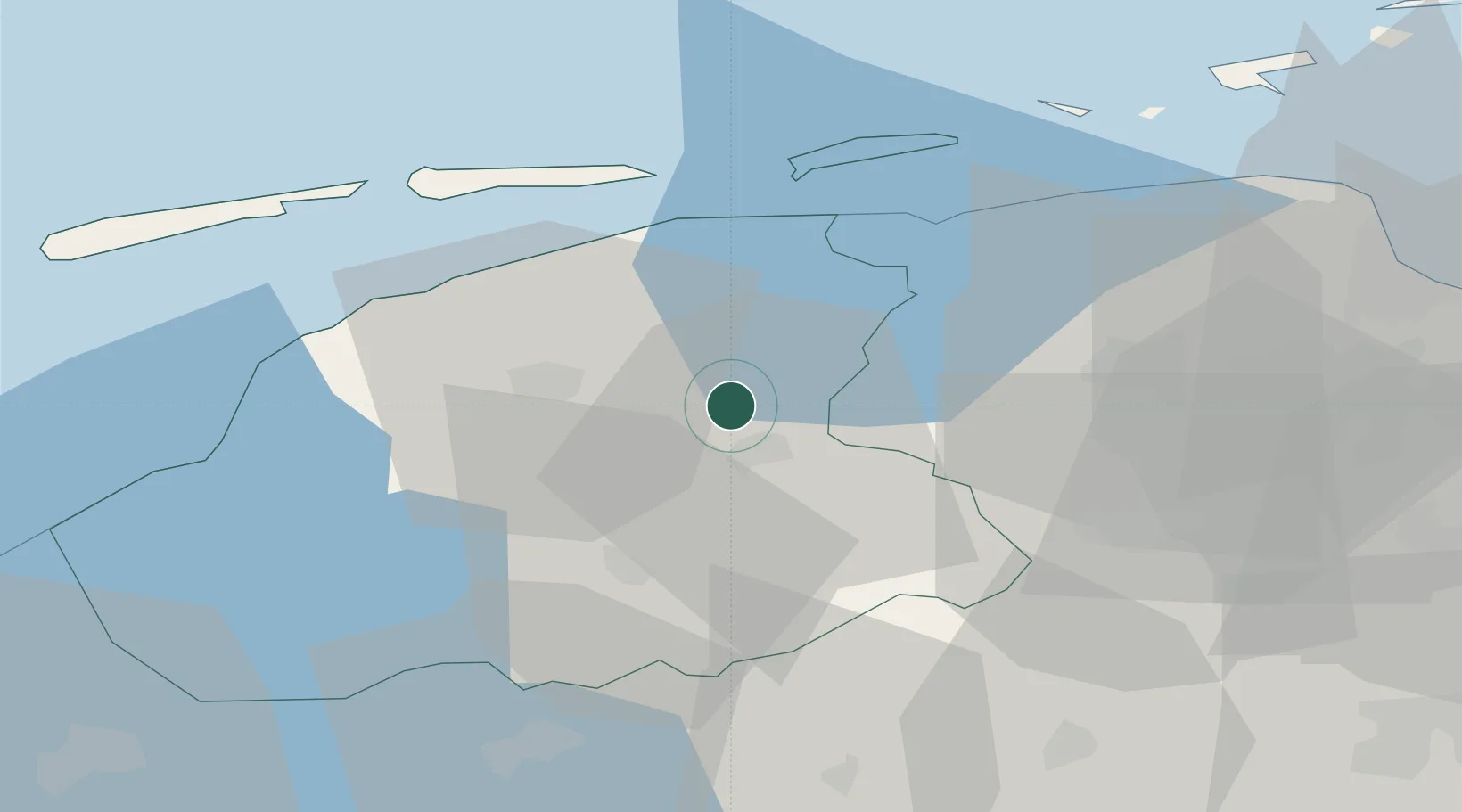
Nearby Logistics Neighbours

Cities
  1. 1Kloosterburen5 km
  2. 2Kootstertille7 km
  3. 3Eernewoude9 km
  4. 4Veenwouden9 km
  5. 5Twijzelerheide9 km
Nearest neighbours — logibook spatial index (haversine) over the source coordinates
Ports
  1. 1Harlingen42 km
  2. 2Eemshaven61 km
  3. 3Delfzijl62 km
  4. 4Emden78 km
  5. 5Den Helder88 km
Nearest neighbours — logibook spatial index (haversine) over the source coordinates
Airports
  1. 1Leeuwarden Air Base21 km
  2. 2Groningen Airport Eelde36 km
  3. 3Borkum Airport65 km
  4. 4Emden Airport82 km
  5. 5Lelystad Airport87 km
Nearest neighbours — logibook spatial index (haversine) over the source coordinates
Trade Zones
  1. 1Freeport of Emden78 km
  2. 2Freeport of Cuxhaven (Freihafen Cuxhaven)182 km
  3. 3Freeport of Bremerhaven (Freihafen Bremerhaven)182 km
  4. 4Freeport of Duisburg195 km
  5. 5Rheinische Revier SWZ252 km
Nearest neighbours — logibook spatial index (haversine) over the source coordinates
DatabookThe Record of Consolidated Knowledge
Netherlands beyond logistics?
Browse databook

All Sources

LocationsUN/LOCODE
UN/LOCODE — free
Portsthe NGA World Port Index
Public domain (US gov)
AirportsOurAirports
Public domain
Trade Zonesthe World Bank SEZ database
CC BY 4.0
Trade ZonesOpen Zone Map
CC BY
← Netherlands locations