Transport Functions
Port
Road
Hub Profile
Place type
Populated place
Region
Friesland
Time zone
Europe/Amsterdam
Elevation
0 m
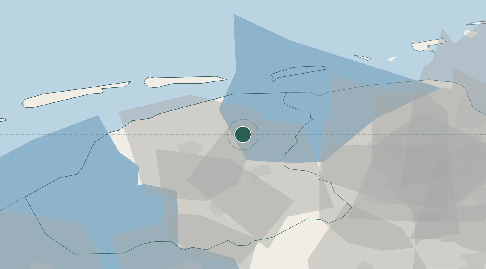
Location
Nearby Logistics Neighbours
Cities
- 1Twijzelerheide2 km
- 2Veenwouden3 km
- 3Driesum6 km
- 4Kootstertille7 km
- 5Sijbrandahuis8 km
Ports
- 1Harlingen41 km
- 2Eemshaven59 km
- 3Delfzijl62 km
- 4Emden78 km
- 5Den Helder88 km
Airports
- 1Leeuwarden Air Base17 km
- 2Groningen Airport Eelde40 km
- 3Borkum Airport60 km
- 4Emden Airport82 km
- 5Juist Airport84 km
Trade Zones
DatabookThe Record of Consolidated Knowledge
Netherlands beyond logistics?