Transport Functions
Port
Road
Hub Profile
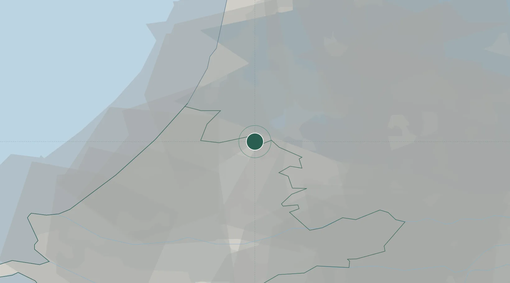
Place type
Populated place
Region
South Holland
Population
95
Time zone
Europe/Amsterdam
Elevation
-2 m
Location
Nearby Logistics Neighbours
Cities
- 1Rijsenhout4 km
- 2Leimuiderbrug4 km
- 3Rijnsaterwoude4 km
- 4Vrouwenakker5 km
- 5Aalsmeerderbrug6 km
Ports
- 1Amsterdam21 km
- 2Zaandam25 km
- 3Ijmuiden29 km
- 4Scheveningen33 km
- 5Rotterdam39 km
Airports
Trade Zones
- 1Freeport of Duisburg155 km
- 2Rheinische Revier SWZ185 km
- 3ZFU Tourcoing198 km
- 4ZFU Hem et Roubaix201 km
- 5Freeport of Emden208 km
DatabookThe Record of Consolidated Knowledge
Netherlands beyond logistics?