Transport Functions
Port
Rail
Road
Airport
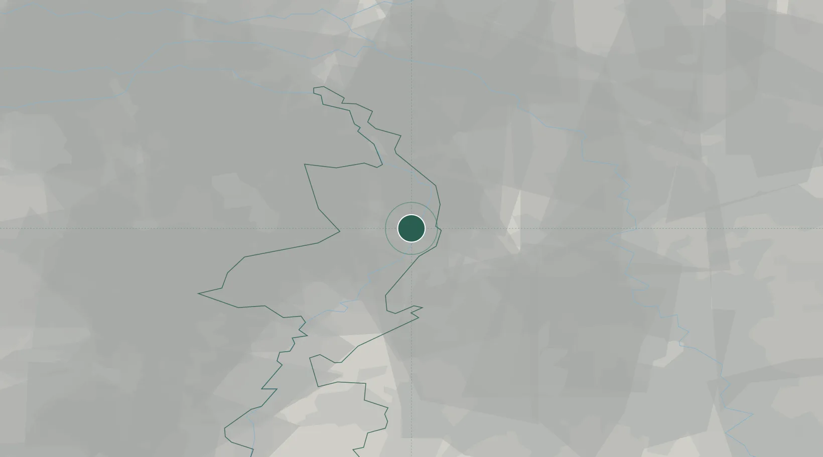
Hub Profile
Place type
Provincial seat
Region
Limburg
Population
101,988
Time zone
Europe/Amsterdam
Elevation
24 m
Logistics facilities
4
Location
Nearby Logistics Neighbours
Ports
- 1Dordrecht112 km
- 2Antwerpen122 km
- 3Rotterdam127 km
- 4Schiedam132 km
- 5Vlaardingen135 km
Airports
- 1Weeze (Niederrhein) Airport23 km
- 2Mönchengladbach Airport32 km
- 3Kempen Airport Budel40 km
- 4Volkel Air Base41 km
- 5Düsseldorf Airport46 km
Trade Zones
- 1Freeport of Duisburg33 km
- 2Rheinische Revier SWZ57 km
- 3Luxembourg Free Port195 km
- 4ZFU Ronde Couture208 km
- 5Freeport of Emden228 km
DatabookThe Record of Consolidated Knowledge
Netherlands beyond logistics?