Transport Functions
Port
Road
Hub Profile
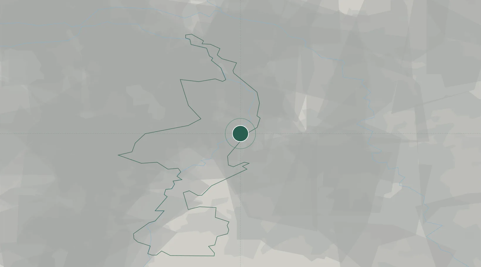
Place type
Populated place
Region
Limburg
Population
5,575
Time zone
Europe/Amsterdam
Elevation
28 m
Location
Nearby Logistics Neighbours
Airports
- 1Mönchengladbach Airport29 km
- 2Weeze (Niederrhein) Airport32 km
- 3Kempen Airport Budel37 km
- 4Geilenkirchen Air Base40 km
- 5Düsseldorf Airport45 km
Trade Zones
- 1Freeport of Duisburg36 km
- 2Rheinische Revier SWZ49 km
- 3Luxembourg Free Port187 km
- 4ZFU Ronde Couture201 km
- 5Freeport of Emden236 km
DatabookThe Record of Consolidated Knowledge
Netherlands beyond logistics?