Transport Functions
Multimodal
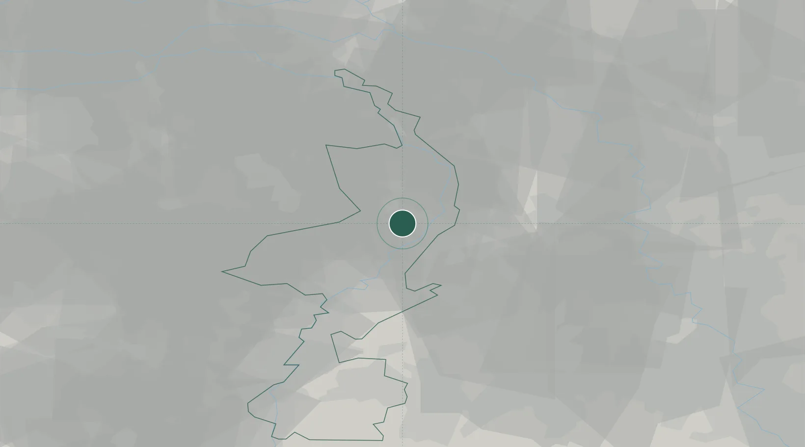
Hub Profile
Place type
Populated place
Region
Limburg
Population
5,045
Time zone
Europe/Amsterdam
Elevation
31 m
Location
Nearby Logistics Neighbours
Cities
- 1Koningslust4 km
- 2Belfeld6 km
- 3Grashoek7 km
- 4Venlo7 km
- 5Kronenberg8 km
Airports
- 1Weeze (Niederrhein) Airport29 km
- 2Kempen Airport Budel33 km
- 3Mönchengladbach Airport34 km
- 4Volkel Air Base42 km
- 5Geilenkirchen Air Base43 km
Trade Zones
- 1Freeport of Duisburg39 km
- 2Rheinische Revier SWZ54 km
- 3Luxembourg Free Port191 km
- 4ZFU Ronde Couture202 km
- 5Freeport of Emden234 km
DatabookThe Record of Consolidated Knowledge
Netherlands beyond logistics?