UN/LOCODE hub · Netherlands
NLVEL

Velsen

52.4656°, 4.6523°
1
Transport functions

Transport Functions

Port
UN/LOCODE

Hub Profile

Logistics facilities
2
UN/LOCODE

Location

Location of NLVEL
Natural Earth 10m (public domain) · Noord-Holland · NLVEL · 52.47, 4.65GoogleOSMYandex

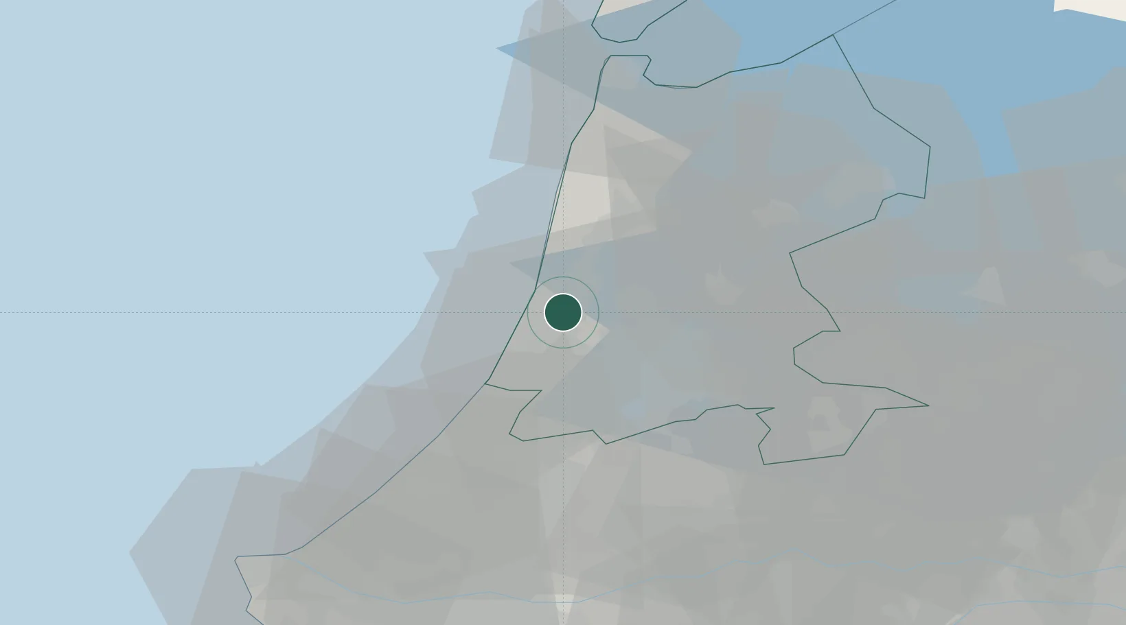
Nearby Logistics Neighbours

Cities
  1. 1Velsen-Noord0 km
  2. 2IJmuiden/Velsen5 km
  3. 3Zaandam8 km
  4. 4Uitgeest9 km
  5. 5Haarlemmerliede9 km
Nearest neighbours — logibook spatial index (haversine) over the source coordinates
Ports
  1. 1Ijmuiden5 km
  2. 2Zaandam13 km
  3. 3Amsterdam20 km
  4. 4Scheveningen48 km
  5. 5Den Helder56 km
Nearest neighbours — logibook spatial index (haversine) over the source coordinates
Airports
  1. 1Amsterdam Airport Schiphol19 km
  2. 2De Kooy Airfield / Den Helder Naval Air Station52 km
  3. 3Rotterdam The Hague Airport58 km
  4. 4Lelystad Airport58 km
  5. 5Deelen Air Base95 km
Nearest neighbours — logibook spatial index (haversine) over the source coordinates
Trade Zones
  1. 1Freeport of Duisburg174 km
  2. 2Freeport of Emden196 km
  3. 3Rheinische Revier SWZ210 km
  4. 4ZFU Tourcoing219 km
  5. 5ZFU Hem et Roubaix223 km
Nearest neighbours — logibook spatial index (haversine) over the source coordinates
DatabookThe Record of Consolidated Knowledge
Netherlands beyond logistics?
Browse databook

All Sources

LocationsUN/LOCODE
UN/LOCODE — free
Portsthe NGA World Port Index
Public domain (US gov)
AirportsOurAirports
Public domain
Trade Zonesthe World Bank SEZ database
CC BY 4.0
Trade ZonesOpen Zone Map
CC BY
← Netherlands locations