UN/LOCODE hub · Netherlands
NLIJM

IJmuiden/Velsen

52.4617°, 4.5823°
3
Transport functions

Transport Functions

Port
Rail
Road
IJmuiden/Velsen is also a profiled seaport →
UN/LOCODE

Hub Profile

Logistics facilities
1
UN/LOCODE

Location

Location of NLIJM
Natural Earth 10m (public domain) · Noord-Holland · NLIJM · 52.46, 4.58GoogleOSMYandex

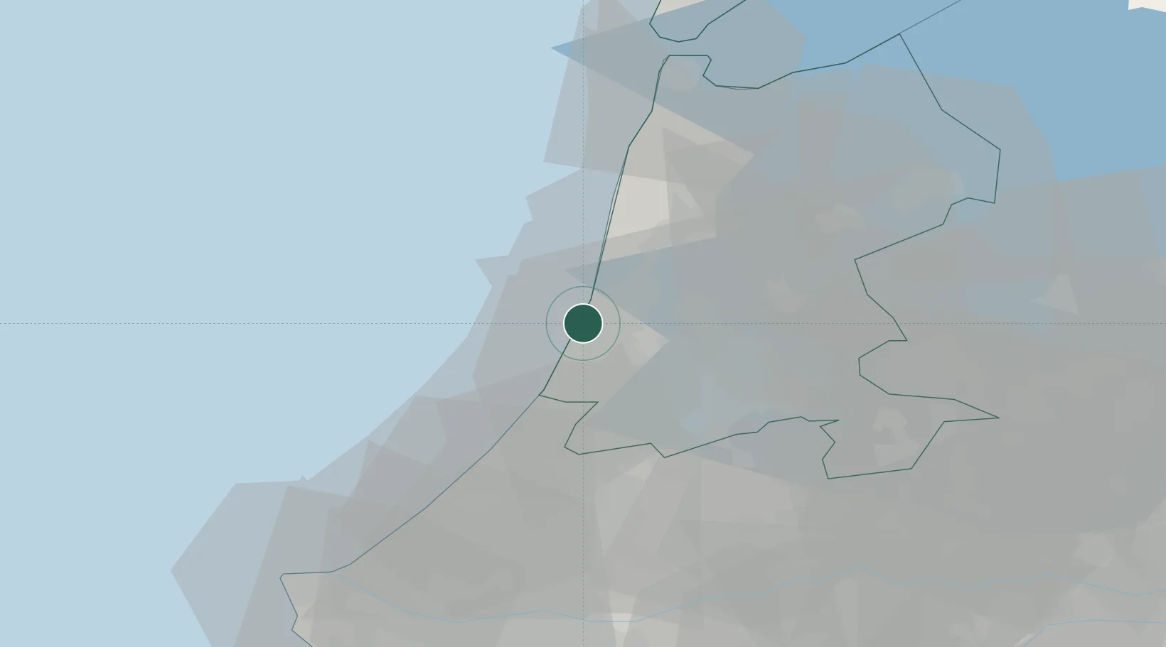
Nearby Logistics Neighbours

Cities
  1. 1Velsen-Noord5 km
  2. 2Velsen5 km
  3. 3Overveen9 km
  4. 4Haarlemmerliede11 km
  5. 5Nieuwe Brug12 km
Nearest neighbours — logibook spatial index (haversine) over the source coordinates
Ports
  1. 1Zaandam17 km
  2. 2Amsterdam24 km
  3. 3Scheveningen46 km
  4. 4Den Helder58 km
  5. 5Rotterdam63 km
Nearest neighbours — logibook spatial index (haversine) over the source coordinates
Airports
  1. 1Amsterdam Airport Schiphol21 km
  2. 2De Kooy Airfield / Den Helder Naval Air Station53 km
  3. 3Rotterdam The Hague Airport57 km
  4. 4Lelystad Airport63 km
  5. 5Deelen Air Base99 km
Nearest neighbours — logibook spatial index (haversine) over the source coordinates
Trade Zones
  1. 1Freeport of Duisburg178 km
  2. 2Freeport of Emden200 km
  3. 3Rheinische Revier SWZ213 km
  4. 4ZFU Tourcoing217 km
  5. 5ZFU Hem et Roubaix220 km
Nearest neighbours — logibook spatial index (haversine) over the source coordinates
DatabookThe Record of Consolidated Knowledge
Netherlands beyond logistics?
Browse databook

All Sources

LocationsUN/LOCODE
UN/LOCODE — free
Portsthe NGA World Port Index
Public domain (US gov)
AirportsOurAirports
Public domain
Trade Zonesthe World Bank SEZ database
CC BY 4.0
Trade ZonesOpen Zone Map
CC BY
← Netherlands locations