Transport Functions
Multimodal
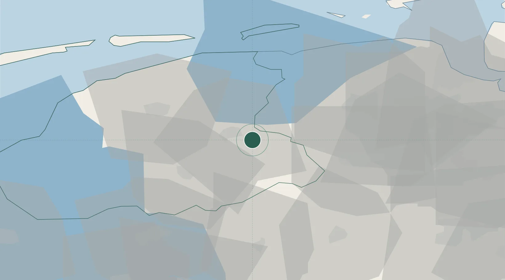
Hub Profile
Place type
Populated place
Region
Friesland
Population
3,810
Time zone
Europe/Amsterdam
Elevation
3 m
Location
Nearby Logistics Neighbours
Cities
- 1Oostermeer12 km
- 2Kornhorn12 km
- 3Zevenhuizen13 km
- 4Kloosterburen14 km
- 5Augustinusga15 km
Airports
- 1Groningen Airport Eelde28 km
- 2Leeuwarden Air Base32 km
- 3Borkum Airport68 km
- 4Emden Airport79 km
- 5Lelystad Airport83 km
Trade Zones
DatabookThe Record of Consolidated Knowledge
Netherlands beyond logistics?