UN/LOCODE hub · Netherlands
NLZAC
Augustinusga
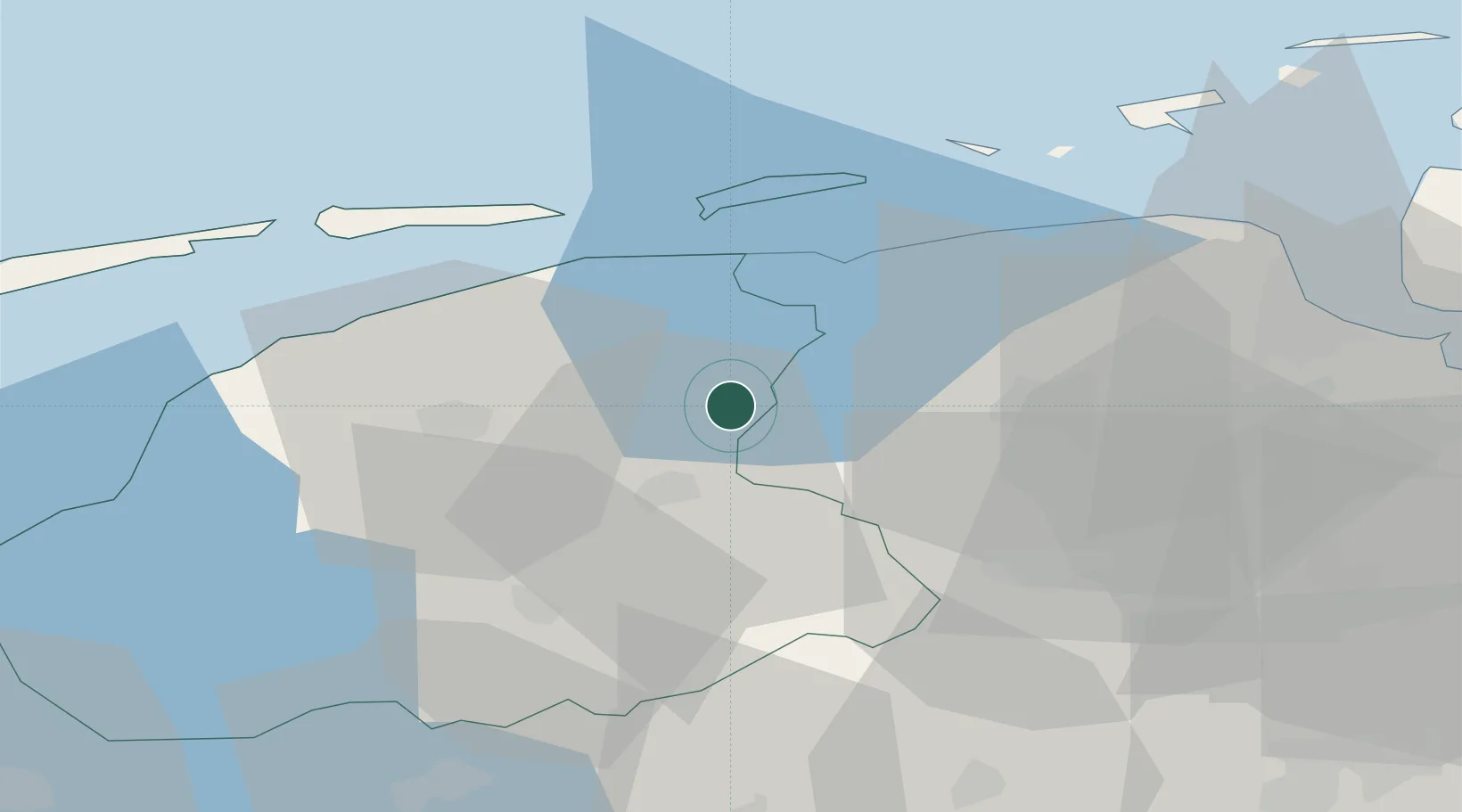
53.2167°, 6.1667°
1,075
Population
1
Transport functions
Transport Functions
Multimodal
Hub Profile
Place type
Populated place
Region
Friesland
Population
1,075
Time zone
Europe/Amsterdam
Elevation
2 m
Location
Nearby Logistics Neighbours
Cities
- 1Stroobos4 km
- 2Buitenpost4 km
- 3Kootstertille4 km
- 4Kornhorn7 km
- 5Kollum8 km
Airports
- 1Leeuwarden Air Base27 km
- 2Groningen Airport Eelde30 km
- 3Borkum Airport56 km
- 4Emden Airport73 km
- 5Juist Airport78 km
Trade Zones
DatabookThe Record of Consolidated Knowledge
Netherlands beyond logistics?