Transport Functions
Port
Road
Hub Profile
Place type
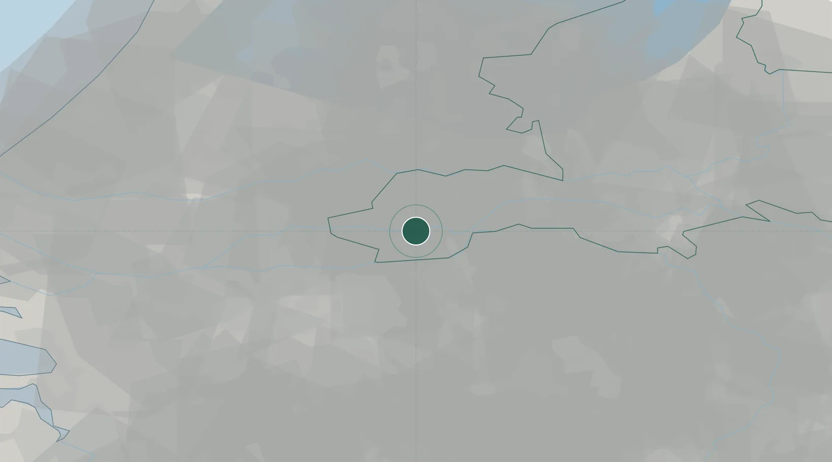
Populated place
Region
Gelderland
Population
500
Time zone
Europe/Amsterdam
Elevation
4 m
Location
Nearby Logistics Neighbours
Cities
- 1Haaften1 km
- 2Meteren7 km
- 3Nederhemert7 km
- 4Esbeek8 km
- 5Sint Andries8 km
Ports
- 1Dordrecht40 km
- 2Rotterdam52 km
- 3Schiedam58 km
- 4Vlaardingen61 km
- 5Amsterdam65 km
Airports
- 1Gilze Rijen Air Base35 km
- 2Volkel Air Base37 km
- 3Eindhoven Airport42 km
- 4Deelen Air Base52 km
- 5Rotterdam The Hague Airport57 km
Trade Zones
- 1Freeport of Duisburg102 km
- 2Rheinische Revier SWZ129 km
- 3ZFU Tourcoing189 km
- 4ZFU Condé sur lEscaut190 km
- 5ZFU Hem et Roubaix191 km
DatabookThe Record of Consolidated Knowledge
Netherlands beyond logistics?