Transport Functions
Multimodal
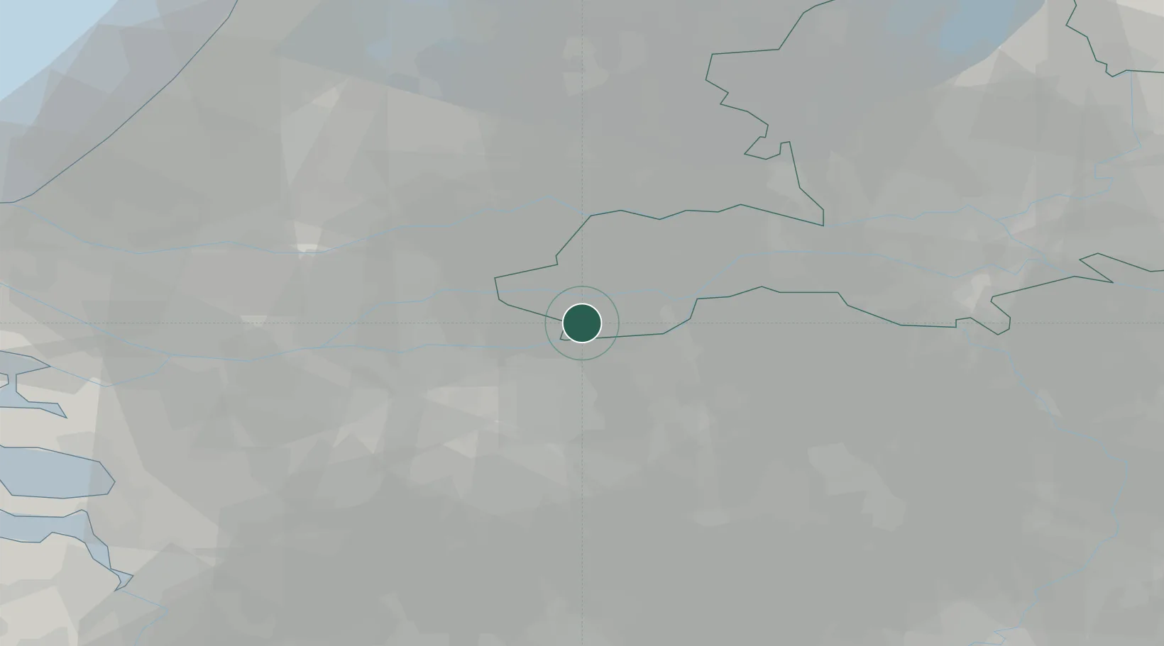
Hub Profile
Place type
Populated place
Region
Gelderland
Population
1,496
Time zone
Europe/Amsterdam
Elevation
3 m
Location
Nearby Logistics Neighbours
Cities
- 1Esbeek3 km
- 2Veen4 km
- 3Poederoijen6 km
- 4Haaften7 km
- 5Tuil7 km
Ports
- 1Dordrecht36 km
- 2Rotterdam49 km
- 3Schiedam55 km
- 4Vlaardingen58 km
- 5Maassluis65 km
Airports
- 1Gilze Rijen Air Base27 km
- 2Eindhoven Airport38 km
- 3Volkel Air Base39 km
- 4Rotterdam The Hague Airport54 km
- 5Deelen Air Base58 km
Trade Zones
- 1Freeport of Duisburg104 km
- 2Rheinische Revier SWZ127 km
- 3ZFU Tourcoing182 km
- 4ZFU Condé sur lEscaut182 km
- 5ZFU Hem et Roubaix184 km
DatabookThe Record of Consolidated Knowledge
Netherlands beyond logistics?