UN/LOCODE hub · Netherlands
NLESB

Esbeek

51.7833°, 5.1333°
825
Population
1
Transport functions

Transport Functions

Multimodal
UN/LOCODE

Hub Profile

Place type
Populated place
GeoNames
Region
North Brabant
GeoNames
Population
825
GeoNames
Time zone
Europe/Amsterdam
GeoNames
Elevation
21 m
GeoNames

Location

Location of NLESB
Natural Earth 10m (public domain) · North Brabant · NLESB · 51.78, 5.13GoogleOSMYandex

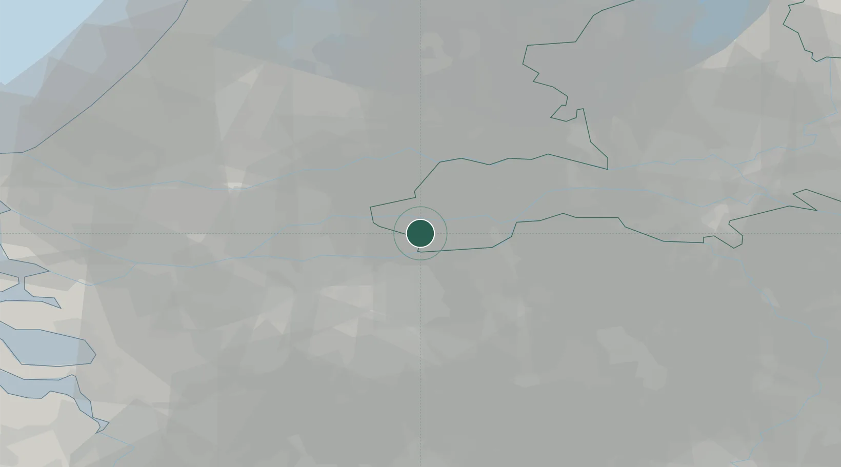
Nearby Logistics Neighbours

Cities
  1. 1Veen1 km
  2. 2Nederhemert3 km
  3. 3Poederoijen3 km
  4. 4Haaften7 km
  5. 5Tuil8 km
Nearest neighbours — logibook spatial index (haversine) over the source coordinates
Ports
  1. 1Dordrecht33 km
  2. 2Rotterdam47 km
  3. 3Schiedam52 km
  4. 4Vlaardingen55 km
  5. 5Maassluis63 km
Nearest neighbours — logibook spatial index (haversine) over the source coordinates
Airports
  1. 1Gilze Rijen Air Base28 km
  2. 2Eindhoven Airport41 km
  3. 3Volkel Air Base42 km
  4. 4Rotterdam The Hague Airport52 km
  5. 5Deelen Air Base59 km
Nearest neighbours — logibook spatial index (haversine) over the source coordinates
Trade Zones
  1. 1Freeport of Duisburg107 km
  2. 2Rheinische Revier SWZ130 km
  3. 3ZFU Tourcoing181 km
  4. 4ZFU Condé sur lEscaut182 km
  5. 5ZFU Hem et Roubaix183 km
Nearest neighbours — logibook spatial index (haversine) over the source coordinates
DatabookThe Record of Consolidated Knowledge
Netherlands beyond logistics?
Browse databook

All Sources

LocationsUN/LOCODE
UN/LOCODE — free
LocationsGeoNames
CC BY 4.0
Portsthe NGA World Port Index
Public domain (US gov)
AirportsOurAirports
Public domain
Trade Zonesthe World Bank SEZ database
CC BY 4.0
Trade ZonesOpen Zone Map
CC BY
← Netherlands locations