Transport Functions
Port
Rail
Road
Hub Profile
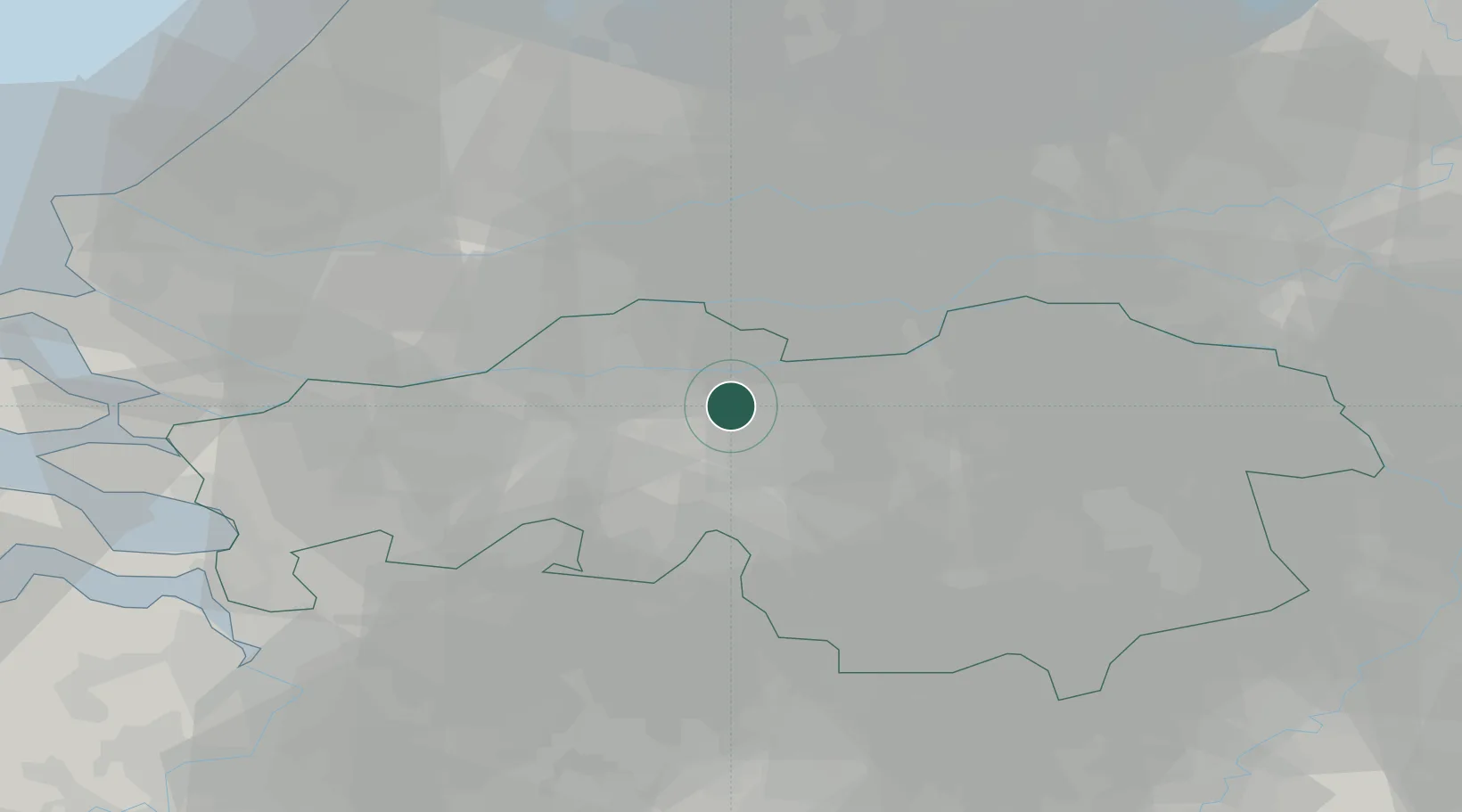
Place type
Populated place
Region
North Brabant
Time zone
Europe/Amsterdam
Elevation
5 m
Location
Nearby Logistics Neighbours
Cities
- 1Sprang-Capelle0 km
- 2Waalwijk3 km
- 3Tilburg9 km
- 4Biezenmortel11 km
- 5Oosteind11 km
Ports
- 1Dordrecht32 km
- 2Rotterdam47 km
- 3Schiedam52 km
- 4Vlaardingen55 km
- 5Maassluis62 km
Airports
- 1Gilze Rijen Air Base14 km
- 2Eindhoven Airport33 km
- 3Volkel Air Base45 km
- 4Rotterdam The Hague Airport53 km
- 5Woensdrecht Air Base55 km
Trade Zones
- 1Freeport of Duisburg109 km
- 2Rheinische Revier SWZ125 km
- 3ZFU Tourcoing168 km
- 4ZFU Condé sur lEscaut169 km
- 5ZFU Hem et Roubaix171 km
DatabookThe Record of Consolidated Knowledge
Netherlands beyond logistics?