Transport Functions
Multimodal
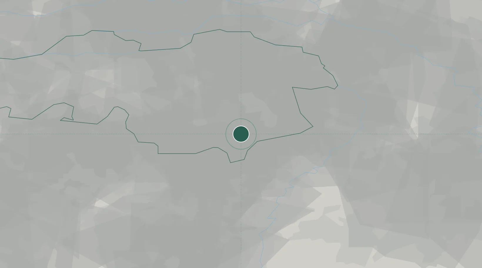
Hub Profile
Place type
Populated place
Region
North Brabant
Population
910
Time zone
Europe/Amsterdam
Elevation
31 m
Location
Nearby Logistics Neighbours
Cities
- 1Mierlo9 km
- 2Budel-Dorplain13 km
- 3Achel14 km
- 4Helmond16 km
- 5Aarle Rixtel17 km
Airports
- 1Kempen Airport Budel11 km
- 2Eindhoven Airport19 km
- 3Kleine Brogel Air Base22 km
- 4Volkel Air Base35 km
- 5Weeze (Niederrhein) Airport47 km
Trade Zones
- 1Freeport of Duisburg69 km
- 2Rheinische Revier SWZ73 km
- 3ZFU Maubeuge, Louvroil169 km
- 4ZFU Condé sur lEscaut173 km
- 5ZFU Tourcoing184 km
DatabookThe Record of Consolidated Knowledge
Netherlands beyond logistics?