Transport Functions
Port
Rail
Road
Hub Profile
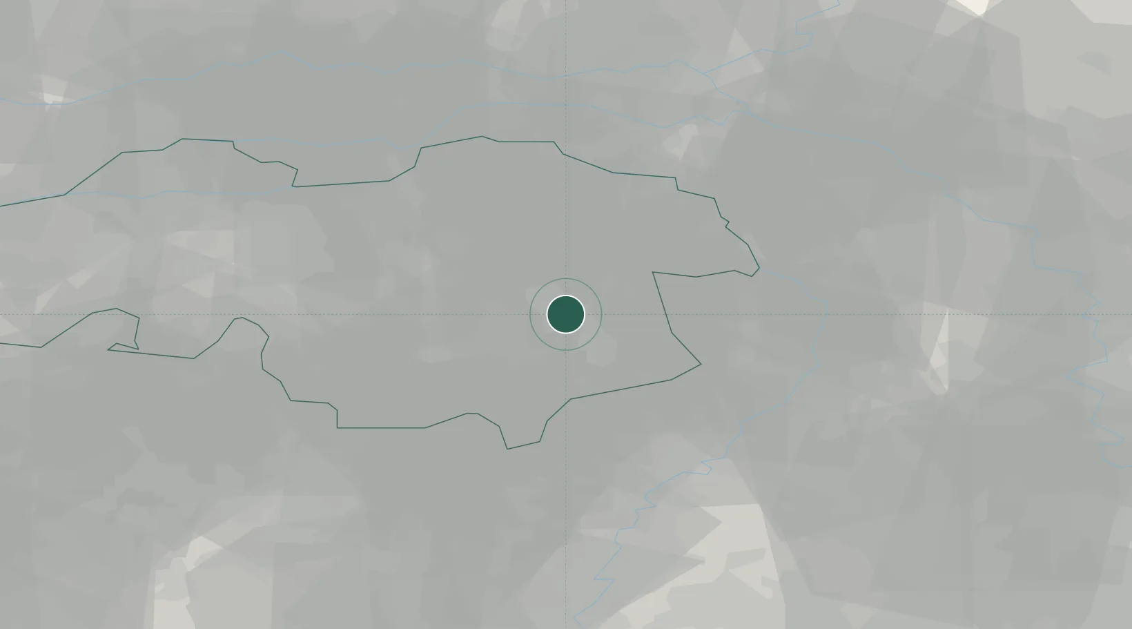
Place type
Populated place
Region
North Brabant
Population
74,740
Time zone
Europe/Amsterdam
Elevation
19 m
Location
Nearby Logistics Neighbours
Cities
- 1Aarle Rixtel3 km
- 2Groenewoud5 km
- 3Mierlo7 km
- 4Son12 km
- 5Ekkersrijt14 km
Ports
- 1Dordrecht79 km
- 2Antwerpen93 km
- 3Rotterdam94 km
- 4Schiedam99 km
- 5Vlaardingen102 km
Airports
- 1Volkel Air Base20 km
- 2Eindhoven Airport21 km
- 3Kempen Airport Budel26 km
- 4Weeze (Niederrhein) Airport35 km
- 5Kleine Brogel Air Base38 km
Trade Zones
- 1Freeport of Duisburg64 km
- 2Rheinische Revier SWZ81 km
- 3ZFU Maubeuge, Louvroil182 km
- 4ZFU Condé sur lEscaut185 km
- 5ZFU Tourcoing194 km
DatabookThe Record of Consolidated Knowledge
Netherlands beyond logistics?