Transport Functions
Rail
Road
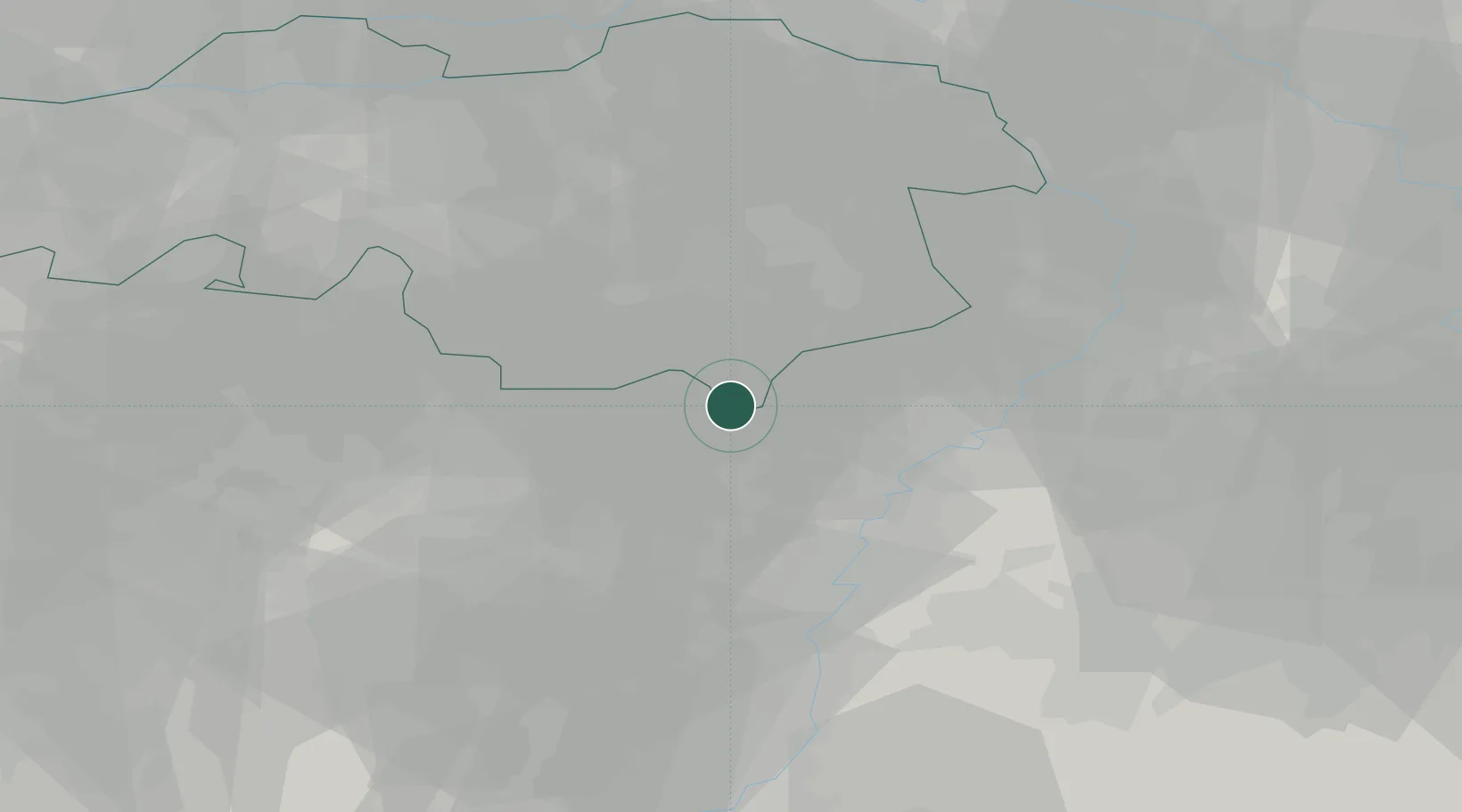
Location
Nearby Logistics Neighbours
Cities
- 1Lozen4 km
- 2Achel6 km
- 3Sint-Huibrechts-Lille6 km
- 4Kaulille7 km
- 5Bocholt8 km
Airports
- 1Kempen Airport Budel3 km
- 2Kleine Brogel Air Base10 km
- 3Eindhoven Airport28 km
- 4Maastricht Aachen Airport39 km
- 5Geilenkirchen Air Base45 km
Trade Zones
- 1Rheinische Revier SWZ67 km
- 2Freeport of Duisburg75 km
- 3ZFU Maubeuge, Louvroil158 km
- 4ZFU Condé sur lEscaut164 km
- 5ZFU Ronde Couture176 km
DatabookThe Record of Consolidated Knowledge
Netherlands beyond logistics?