UN/LOCODE hub · Netherlands
NLARI
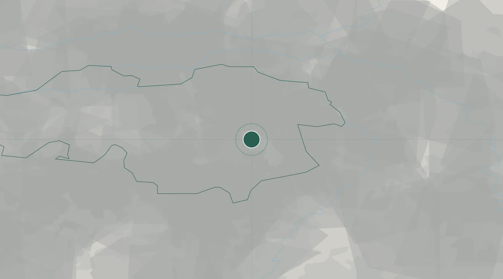
Aarle Rixtel
51.5000°, 5.6333°
5,125
Population
2
Transport functions
Transport Functions
Port
Road
Hub Profile
Place type
Populated place
Region
North Brabant
Population
5,125
Time zone
Europe/Amsterdam
Elevation
19 m
Location
Nearby Logistics Neighbours
Cities
- 1Groenewoud2 km
- 2Helmond3 km
- 3Mierlo8 km
- 4Son9 km
- 5Ekkersrijt12 km
Ports
- 1Dordrecht76 km
- 2Rotterdam91 km
- 3Antwerpen91 km
- 4Schiedam96 km
- 5Vlaardingen99 km
Airports
- 1Volkel Air Base18 km
- 2Eindhoven Airport19 km
- 3Kempen Airport Budel27 km
- 4Weeze (Niederrhein) Airport37 km
- 5Kleine Brogel Air Base39 km
Trade Zones
- 1Freeport of Duisburg66 km
- 2Rheinische Revier SWZ84 km
- 3ZFU Maubeuge, Louvroil182 km
- 4ZFU Condé sur lEscaut184 km
- 5ZFU Tourcoing193 km
DatabookThe Record of Consolidated Knowledge
Netherlands beyond logistics?