Transport Functions
Port
Road
Hub Profile
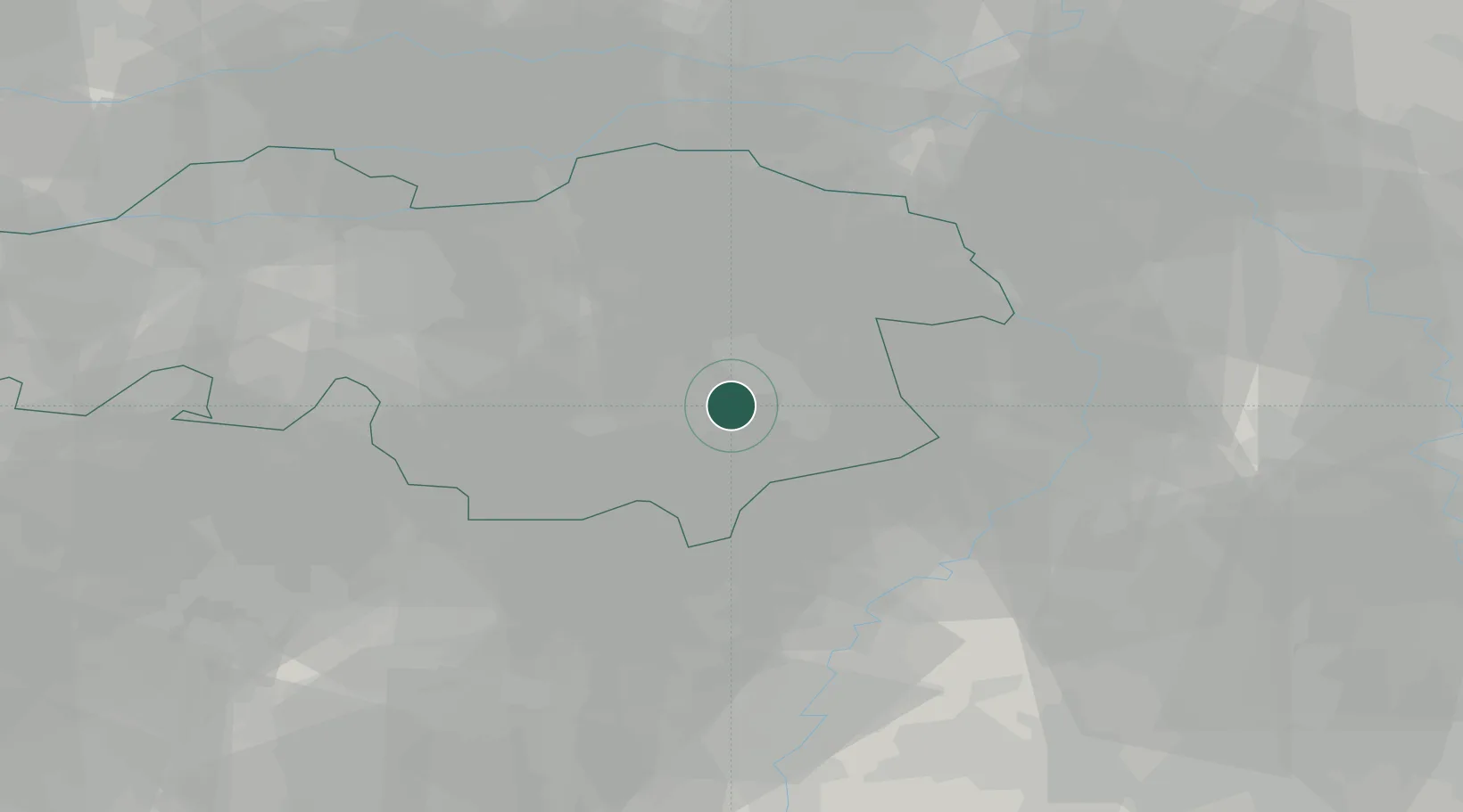
Place type
Populated place
Region
North Brabant
Population
9,405
Time zone
Europe/Amsterdam
Elevation
22 m
Location
Nearby Logistics Neighbours
Cities
- 1Helmond7 km
- 2Aarle Rixtel8 km
- 3Groenewoud9 km
- 4Sterksel9 km
- 5Son11 km
Ports
- 1Dordrecht79 km
- 2Antwerpen88 km
- 3Rotterdam94 km
- 4Schiedam99 km
- 5Vlaardingen102 km
Airports
- 1Eindhoven Airport17 km
- 2Kempen Airport Budel20 km
- 3Volkel Air Base26 km
- 4Kleine Brogel Air Base31 km
- 5Weeze (Niederrhein) Airport41 km
Trade Zones
- 1Freeport of Duisburg67 km
- 2Rheinische Revier SWZ79 km
- 3ZFU Maubeuge, Louvroil176 km
- 4ZFU Condé sur lEscaut179 km
- 5ZFU Tourcoing189 km
DatabookThe Record of Consolidated Knowledge
Netherlands beyond logistics?