Transport Functions
Multimodal
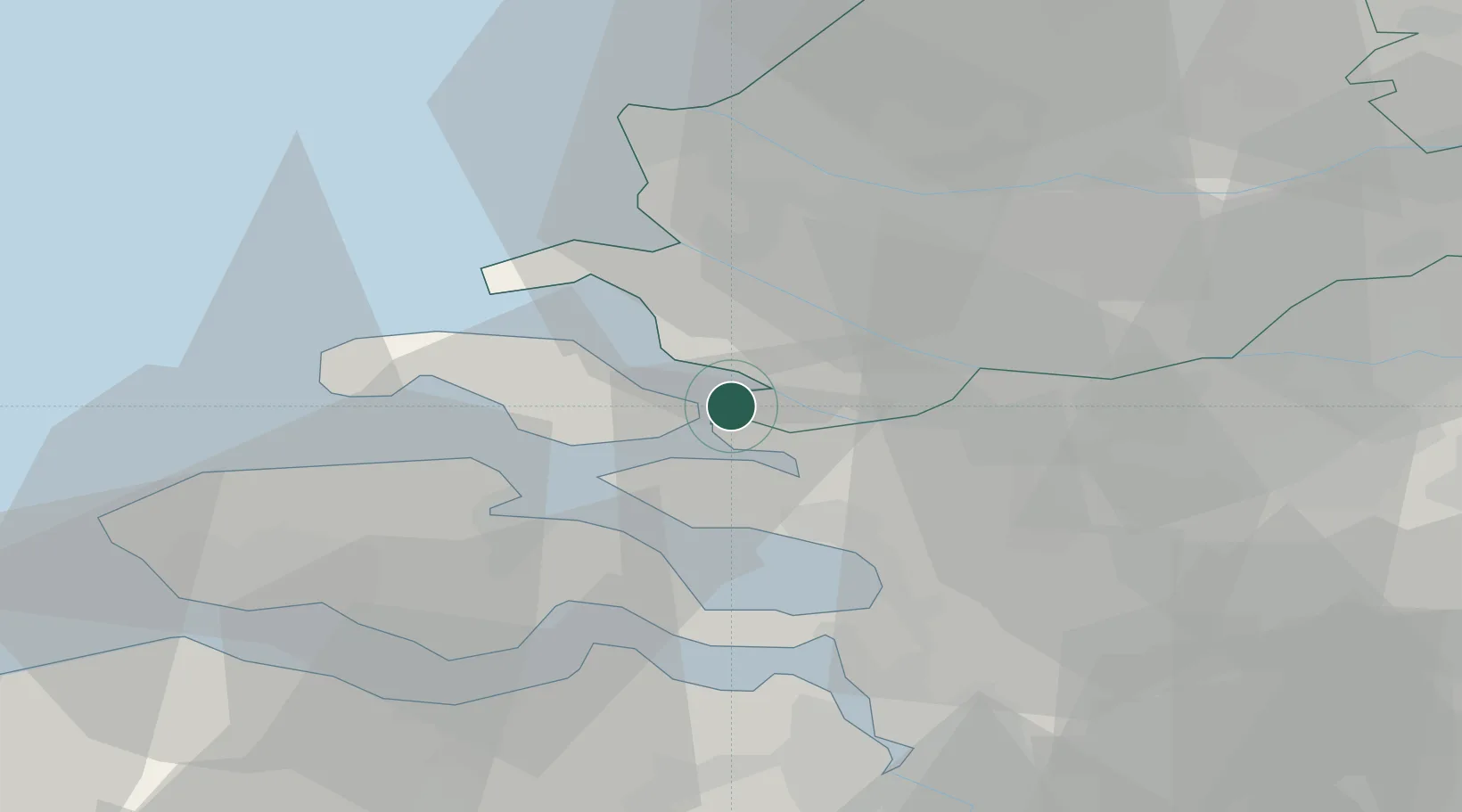
Hub Profile
Place type
Populated place
Region
Zeeland
Population
260
Time zone
Europe/Amsterdam
Elevation
2 m
Location
Nearby Logistics Neighbours
Cities
- 1Sint-Annaland8 km
- 2Volkerak10 km
- 3Dreischor11 km
- 4De Heen11 km
- 5Nieuw-Vossemeer11 km
Ports
- 1Hansweert26 km
- 2Maassluis29 km
- 3Vlaardingen30 km
- 4Hoek Van Holland32 km
- 5Europoort32 km
Airports
Trade Zones
- 1ZFU Tourcoing125 km
- 2ZFU Hem et Roubaix128 km
- 3ZFU Condé sur lEscaut139 km
- 4ZFU de Lille et de Loos139 km
- 5ZFU Saint Pol sur Mer144 km
DatabookThe Record of Consolidated Knowledge
Netherlands beyond logistics?