Transport Functions
Port
Road
Hub Profile
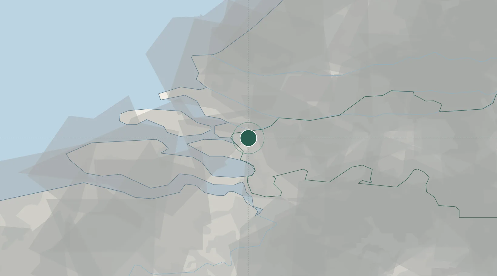
Place type
Populated place
Region
North Brabant
Population
410
Time zone
Europe/Amsterdam
Elevation
-1 m
Location
Nearby Logistics Neighbours
Cities
- 1Nieuw-Vossemeer5 km
- 2Volkerak6 km
- 3Ooltgensplaat9 km
- 4Sirjansland11 km
- 5Sint-Annaland12 km
Ports
- 1Hansweert26 km
- 2Vlaardingen32 km
- 3Schiedam33 km
- 4Maassluis33 km
- 5Dordrecht35 km
Airports
Trade Zones
- 1ZFU Tourcoing126 km
- 2ZFU Hem et Roubaix129 km
- 3ZFU Condé sur lEscaut137 km
- 4ZFU de Lille et de Loos140 km
- 5ZFU Saint Pol sur Mer149 km
DatabookThe Record of Consolidated Knowledge
Netherlands beyond logistics?