UN/LOCODE hub · Netherlands
NLZBY

Zuiddorpe

51.2333°, 3.9000°
989
Population
1
Transport functions

Transport Functions

Multimodal
UN/LOCODE

Hub Profile

Place type
Populated place
GeoNames
Region
Zeeland
GeoNames
Population
989
GeoNames
Time zone
Europe/Amsterdam
GeoNames
Elevation
6 m
GeoNames

Location

Location of NLZBY
Natural Earth 10m (public domain) · Zeeland · NLZBY · 51.23, 3.90GoogleOSMYandex

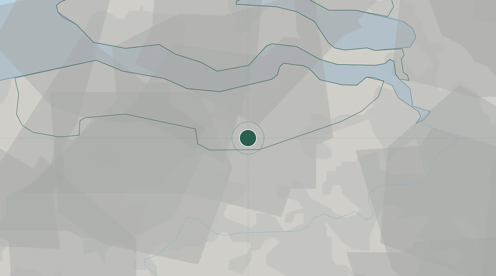
Nearby Logistics Neighbours

Cities
  1. 1Langelede7 km
  2. 2Zelzate7 km
  3. 3Sas van Gent7 km
  4. 4Sluiskil7 km
  5. 5Moerbeke-Waas8 km
Nearest neighbours — logibook spatial index (haversine) over the source coordinates
Ports
  1. 1Terneuzen14 km
  2. 2Ghent22 km
  3. 3Hansweert25 km
  4. 4Vlissingen32 km
  5. 5Antwerpen35 km
Nearest neighbours — logibook spatial index (haversine) over the source coordinates
Airports
  1. 1Woensdrecht Air Base39 km
  2. 2Antwerp International Airport (Deurne)40 km
  3. 3Brussels Airport55 km
  4. 4Flanders International Airport Kortrijk-Wevelgem67 km
  5. 5Ostend-Bruges International Airport72 km
Nearest neighbours — logibook spatial index (haversine) over the source coordinates
Trade Zones
  1. 1ZFU Tourcoing77 km
  2. 2ZFU Hem et Roubaix79 km
  3. 3ZFU Condé sur lEscaut88 km
  4. 4ZFU de Lille et de Loos91 km
  5. 5ZFU Auby, Flers-en-Escrebieux, Roost-Warendin, Douai, et Waziers108 km
Nearest neighbours — logibook spatial index (haversine) over the source coordinates
DatabookThe Record of Consolidated Knowledge
Netherlands beyond logistics?
Browse databook

All Sources

LocationsUN/LOCODE
UN/LOCODE — free
LocationsGeoNames
CC BY 4.0
Portsthe NGA World Port Index
Public domain (US gov)
AirportsOurAirports
Public domain
Trade Zonesthe World Bank SEZ database
CC BY 4.0
Trade ZonesOpen Zone Map
CC BY
← Netherlands locations