Transport Functions
Port
Road
Hub Profile
Place type
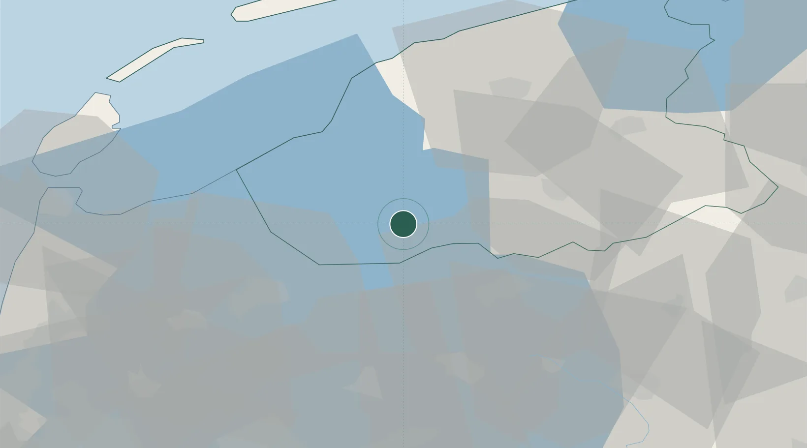
Populated place
Region
Friesland
Population
105
Time zone
Europe/Amsterdam
Elevation
2 m
Location
Nearby Logistics Neighbours
Cities
- 1Rijs5 km
- 2Sloten6 km
- 3Lippenwoude11 km
- 4Rutten13 km
- 5Oudega13 km
Ports
- 1Harlingen35 km
- 2Den Helder53 km
- 3Zaandam70 km
- 4Amsterdam73 km
- 5Ijmuiden81 km
Airports
Trade Zones
DatabookThe Record of Consolidated Knowledge
Netherlands beyond logistics?