Transport Functions
Port
Road
Hub Profile
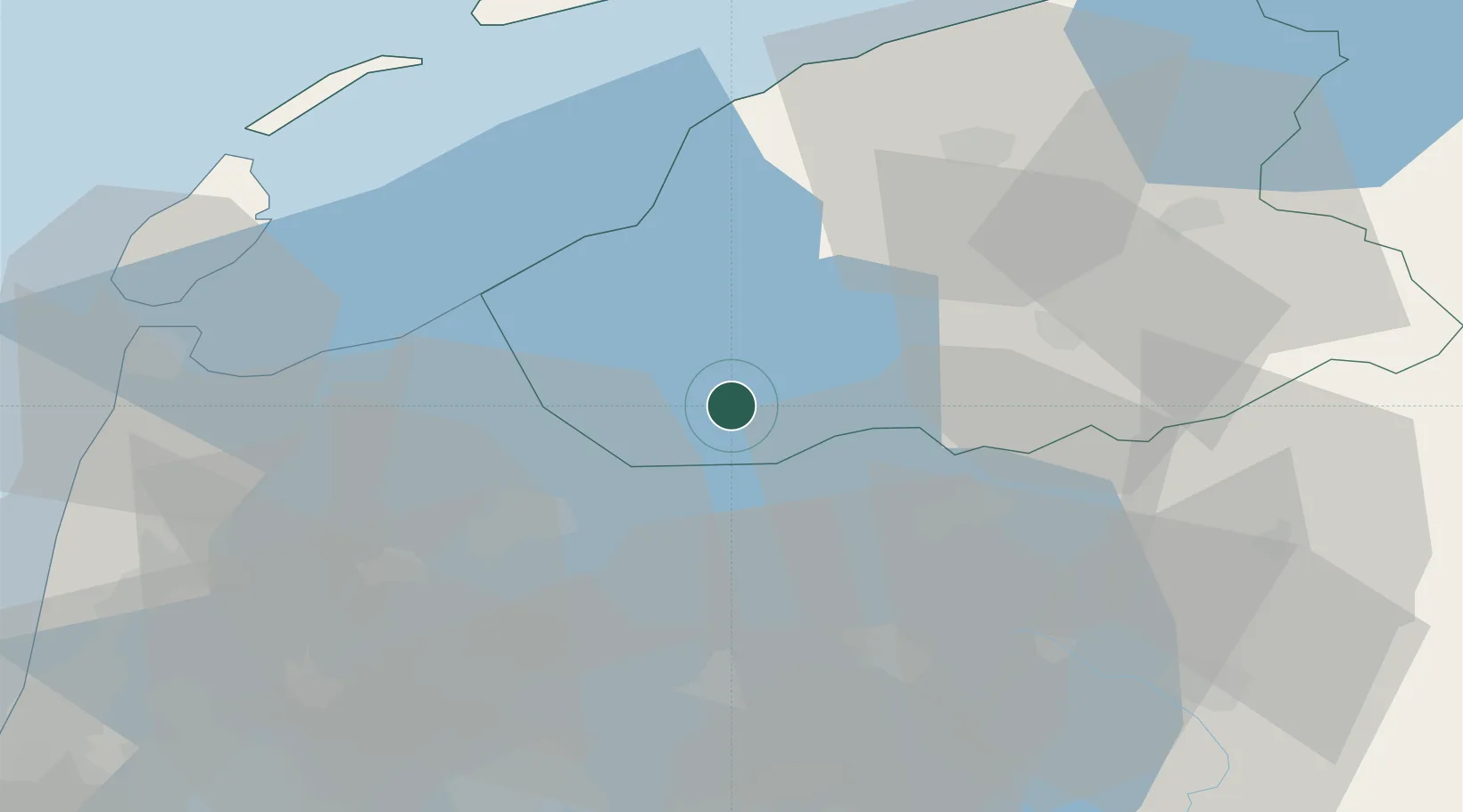
Place type
Populated place
Region
Friesland
Population
165
Time zone
Europe/Amsterdam
Elevation
12 m
Location
Nearby Logistics Neighbours
Cities
- 1Boornzwaag5 km
- 2Sloten11 km
- 3Workum13 km
- 4Lippenwoude15 km
- 5Oudega15 km
Ports
- 1Harlingen36 km
- 2Den Helder49 km
- 3Zaandam66 km
- 4Amsterdam69 km
- 5Ijmuiden76 km
Airports
Trade Zones
DatabookThe Record of Consolidated Knowledge
Netherlands beyond logistics?