Transport Functions
Port
Road
Hub Profile
Place type
Populated place
Region
North Brabant
Time zone
Europe/Amsterdam
Elevation
6 m
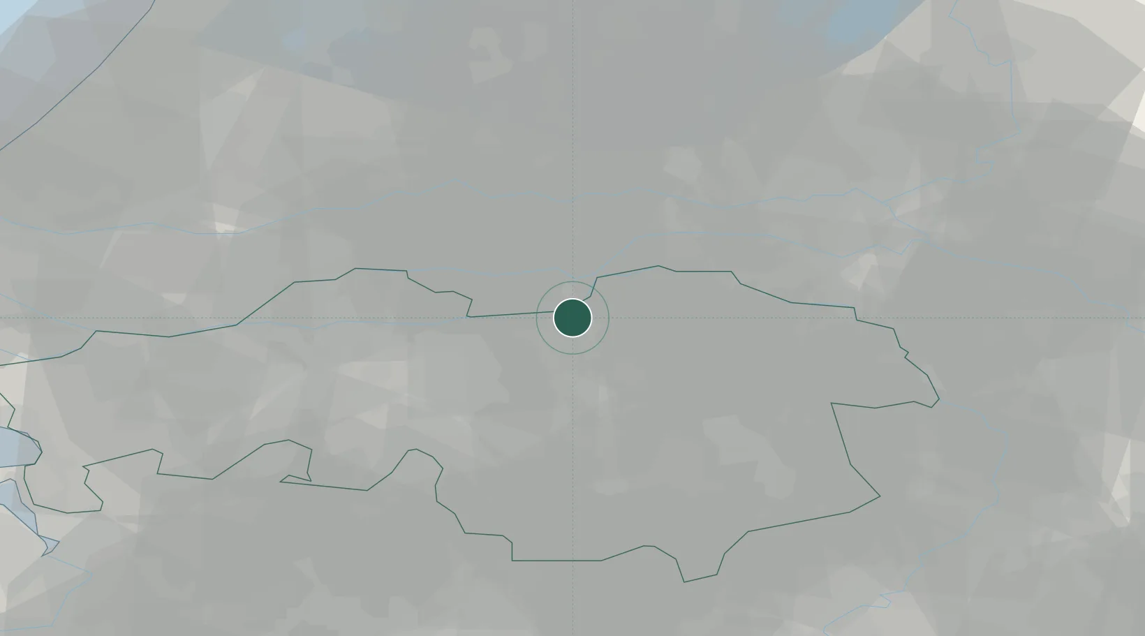
Location
Nearby Logistics Neighbours
Cities
- 1Kerkdriel4 km
- 2Herven4 km
- 3's-Hertogenbosch5 km
- 4Nuland7 km
- 5Sint Andries8 km
Ports
- 1Dordrecht48 km
- 2Rotterdam61 km
- 3Schiedam67 km
- 4Vlaardingen70 km
- 5Amsterdam76 km
Airports
- 1Volkel Air Base27 km
- 2Eindhoven Airport32 km
- 3Gilze Rijen Air Base33 km
- 4Deelen Air Base52 km
- 5Kempen Airport Budel56 km
Trade Zones
- 1Freeport of Duisburg92 km
- 2Rheinische Revier SWZ117 km
- 3ZFU Condé sur lEscaut187 km
- 4ZFU Tourcoing189 km
- 5ZFU Hem et Roubaix190 km
DatabookThe Record of Consolidated Knowledge
Netherlands beyond logistics?