Transport Functions
Port
Road
Hub Profile
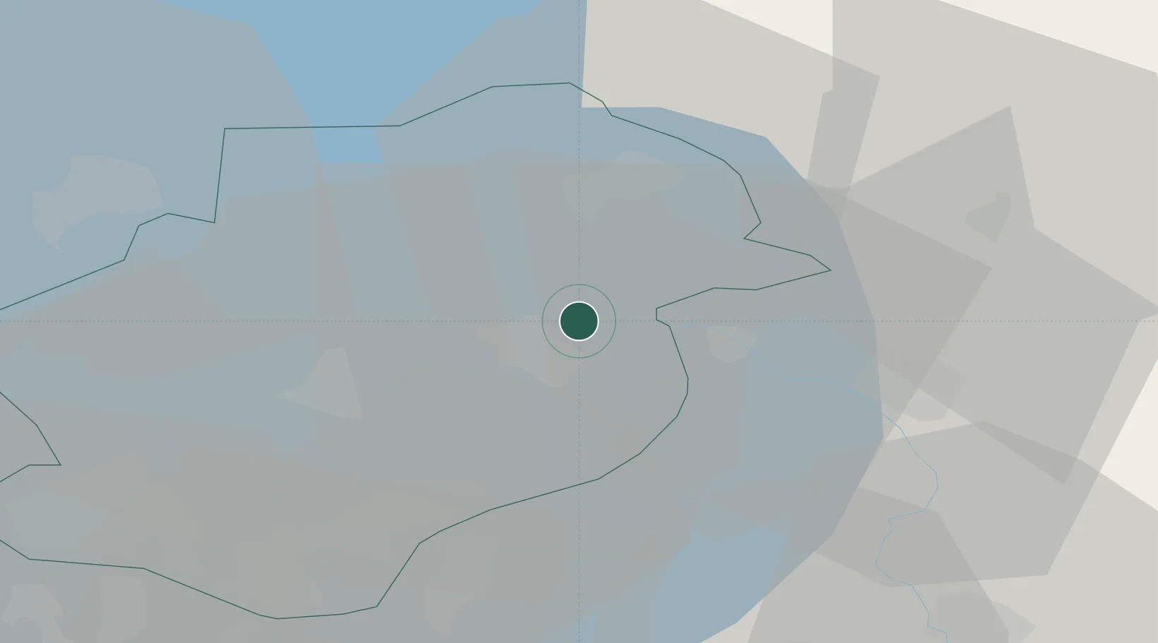
Place type
Populated place
Region
Flevoland
Population
595
Time zone
Europe/Amsterdam
Elevation
-2 m
Location
Nearby Logistics Neighbours
Cities
- 1Kampen8 km
- 2IJsselmuiden11 km
- 3Mandjeswaard11 km
- 4Tollebeek12 km
- 5Biddinghuizen15 km
Ports
- 1Amsterdam62 km
- 2Zaandam64 km
- 3Harlingen70 km
- 4Den Helder78 km
- 5Ijmuiden80 km
Airports
Trade Zones
DatabookThe Record of Consolidated Knowledge
Netherlands beyond logistics?