Transport Functions
Port
Multimodal
Hub Profile
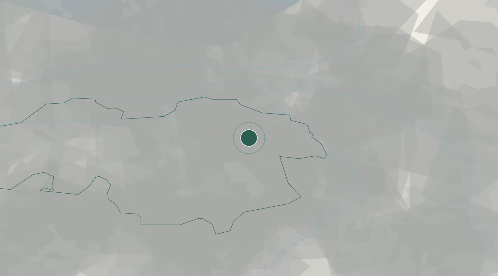
Place type
Populated place
Region
North Brabant
Population
1,390
Time zone
Europe/Amsterdam
Elevation
23 m
Location
Nearby Logistics Neighbours
Cities
- 1Keent6 km
- 2Schaijk12 km
- 3Zevenbergen13 km
- 4Nederasselt13 km
- 5Groenewoud16 km
Ports
- 1Dordrecht75 km
- 2Rotterdam88 km
- 3Schiedam94 km
- 4Amsterdam97 km
- 5Vlaardingen97 km
Airports
- 1Volkel Air Base1 km
- 2Weeze (Niederrhein) Airport31 km
- 3Eindhoven Airport32 km
- 4Kempen Airport Budel44 km
- 5Deelen Air Base47 km
Trade Zones
- 1Freeport of Duisburg65 km
- 2Rheinische Revier SWZ95 km
- 3ZFU Maubeuge, Louvroil198 km
- 4ZFU Condé sur lEscaut198 km
- 5ZFU Tourcoing205 km
DatabookThe Record of Consolidated Knowledge
Netherlands beyond logistics?