Transport Functions
Port
Road
Hub Profile
Place type
Populated place
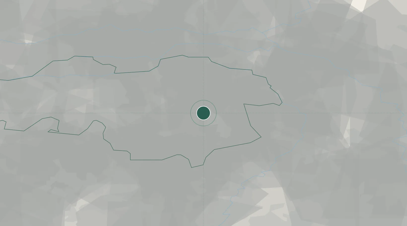
Region
North Brabant
Time zone
Europe/Amsterdam
Elevation
15 m
Location
Nearby Logistics Neighbours
Cities
- 1Aarle Rixtel2 km
- 2Helmond5 km
- 3Son8 km
- 4Mierlo9 km
- 5Nijnsel10 km
Ports
- 1Dordrecht75 km
- 2Rotterdam89 km
- 3Antwerpen91 km
- 4Schiedam94 km
- 5Vlaardingen97 km
Airports
- 1Volkel Air Base17 km
- 2Eindhoven Airport18 km
- 3Kempen Airport Budel29 km
- 4Weeze (Niederrhein) Airport38 km
- 5Kleine Brogel Air Base40 km
Trade Zones
- 1Freeport of Duisburg68 km
- 2Rheinische Revier SWZ86 km
- 3ZFU Maubeuge, Louvroil183 km
- 4ZFU Condé sur lEscaut185 km
- 5ZFU Tourcoing193 km
DatabookThe Record of Consolidated Knowledge
Netherlands beyond logistics?