UN/LOCODE hub · Netherlands
NLVKR

Volkerak

51.6667°, 4.2833°
2
Transport functions

Transport Functions

Port
Road
UN/LOCODE

Hub Profile

Region
NB
GeoNames

Location

Location of NLVKR
Natural Earth 10m (public domain) · NB · NLVKR · 51.67, 4.28GoogleOSMYandex

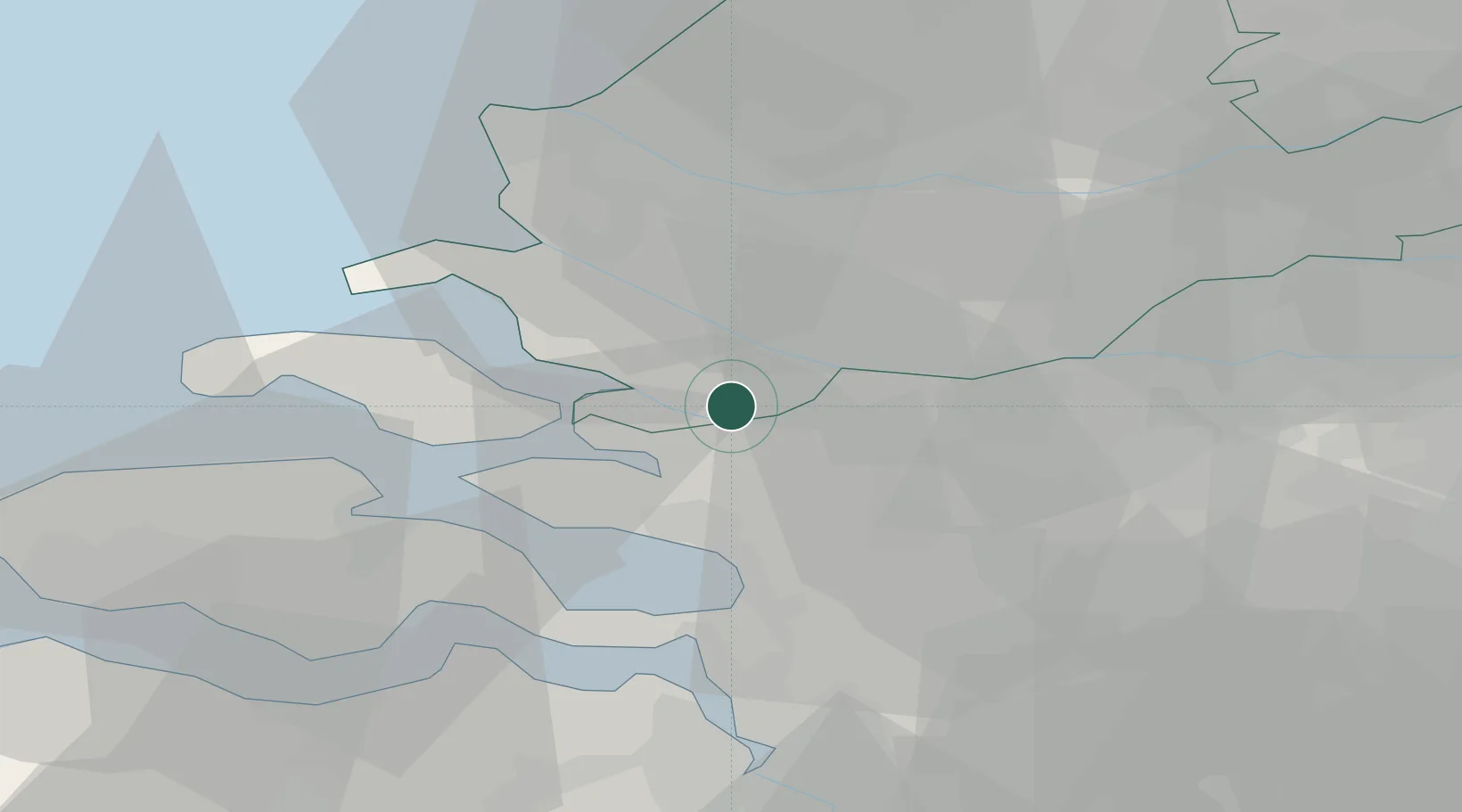
Nearby Logistics Neighbours

Cities
  1. 1Ooltgensplaat5 km
  2. 2De Heen6 km
  3. 3Stad aan 't Haringvliet8 km
  4. 4Sirjansland10 km
  5. 5Nieuw-Vossemeer10 km
Nearest neighbours — logibook spatial index (haversine) over the source coordinates
Ports
  1. 1Vlaardingen26 km
  2. 2Schiedam27 km
  3. 3Maassluis28 km
  4. 4Rotterdam29 km
  5. 5Dordrecht30 km
Nearest neighbours — logibook spatial index (haversine) over the source coordinates
Airports
  1. 1Woensdrecht Air Base25 km
  2. 2Rotterdam The Hague Airport34 km
  3. 3Gilze Rijen Air Base46 km
  4. 4Antwerp International Airport (Deurne)54 km
  5. 5Amsterdam Airport Schiphol79 km
Nearest neighbours — logibook spatial index (haversine) over the source coordinates
Trade Zones
  1. 1ZFU Tourcoing131 km
  2. 2ZFU Hem et Roubaix134 km
  3. 3ZFU Condé sur lEscaut142 km
  4. 4ZFU de Lille et de Loos145 km
  5. 5ZFU Saint Pol sur Mer153 km
Nearest neighbours — logibook spatial index (haversine) over the source coordinates
DatabookThe Record of Consolidated Knowledge
Netherlands beyond logistics?
Browse databook

All Sources

LocationsUN/LOCODE
UN/LOCODE — free
Portsthe NGA World Port Index
Public domain (US gov)
AirportsOurAirports
Public domain
Trade Zonesthe World Bank SEZ database
CC BY 4.0
Trade ZonesOpen Zone Map
CC BY
← Netherlands locations