Transport Functions
Port
Rail
Road
Hub Profile
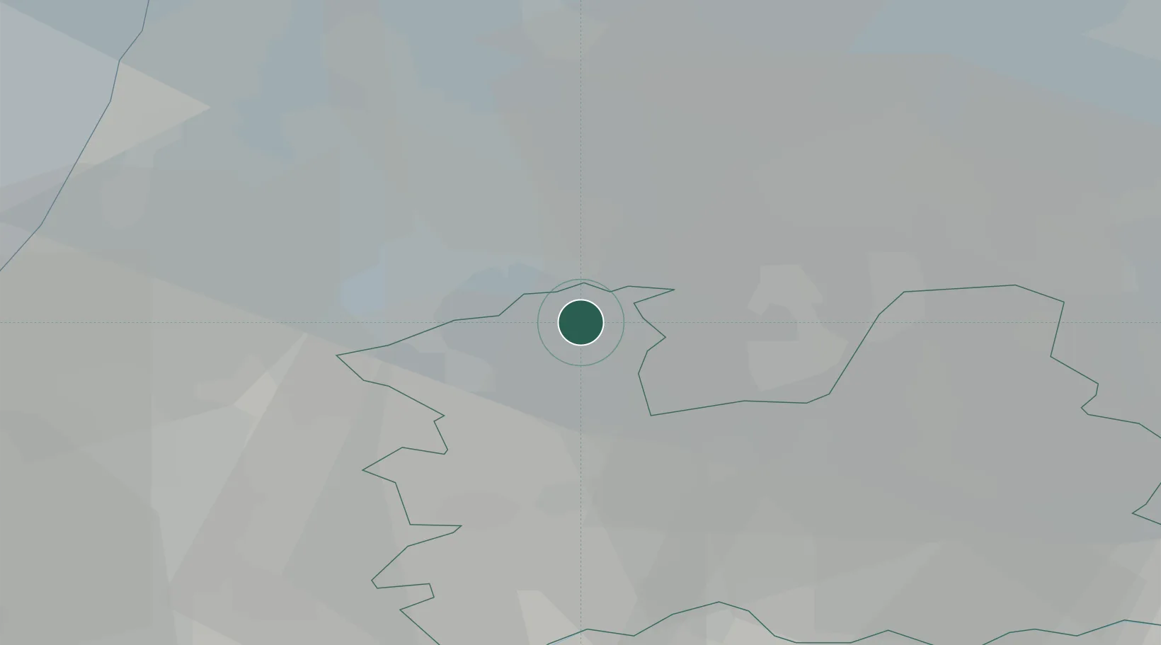
Place type
Populated place
Region
Utrecht
Population
1,010
Time zone
Europe/Amsterdam
Elevation
-1 m
Location
Nearby Logistics Neighbours
Cities
- 1Loenersloot2 km
- 2Nederhorst den Berg5 km
- 3Nigtevecht5 km
- 4Demmerik7 km
- 5Loosdrecht7 km
Ports
- 1Amsterdam14 km
- 2Zaandam23 km
- 3Ijmuiden36 km
- 4Scheveningen52 km
- 5Rotterdam52 km
Airports
- 1Amsterdam Airport Schiphol16 km
- 2Lelystad Airport43 km
- 3Rotterdam The Hague Airport50 km
- 4Deelen Air Base64 km
- 5Gilze Rijen Air Base76 km
Trade Zones
- 1Freeport of Duisburg142 km
- 2Rheinische Revier SWZ178 km
- 3Freeport of Emden191 km
- 4ZFU Tourcoing212 km
- 5ZFU Hem et Roubaix214 km
DatabookThe Record of Consolidated Knowledge
Netherlands beyond logistics?