Transport Functions
Port
Hub Profile
Place type
Populated place
Region
South Holland
Time zone
Europe/Amsterdam
Elevation
9 m
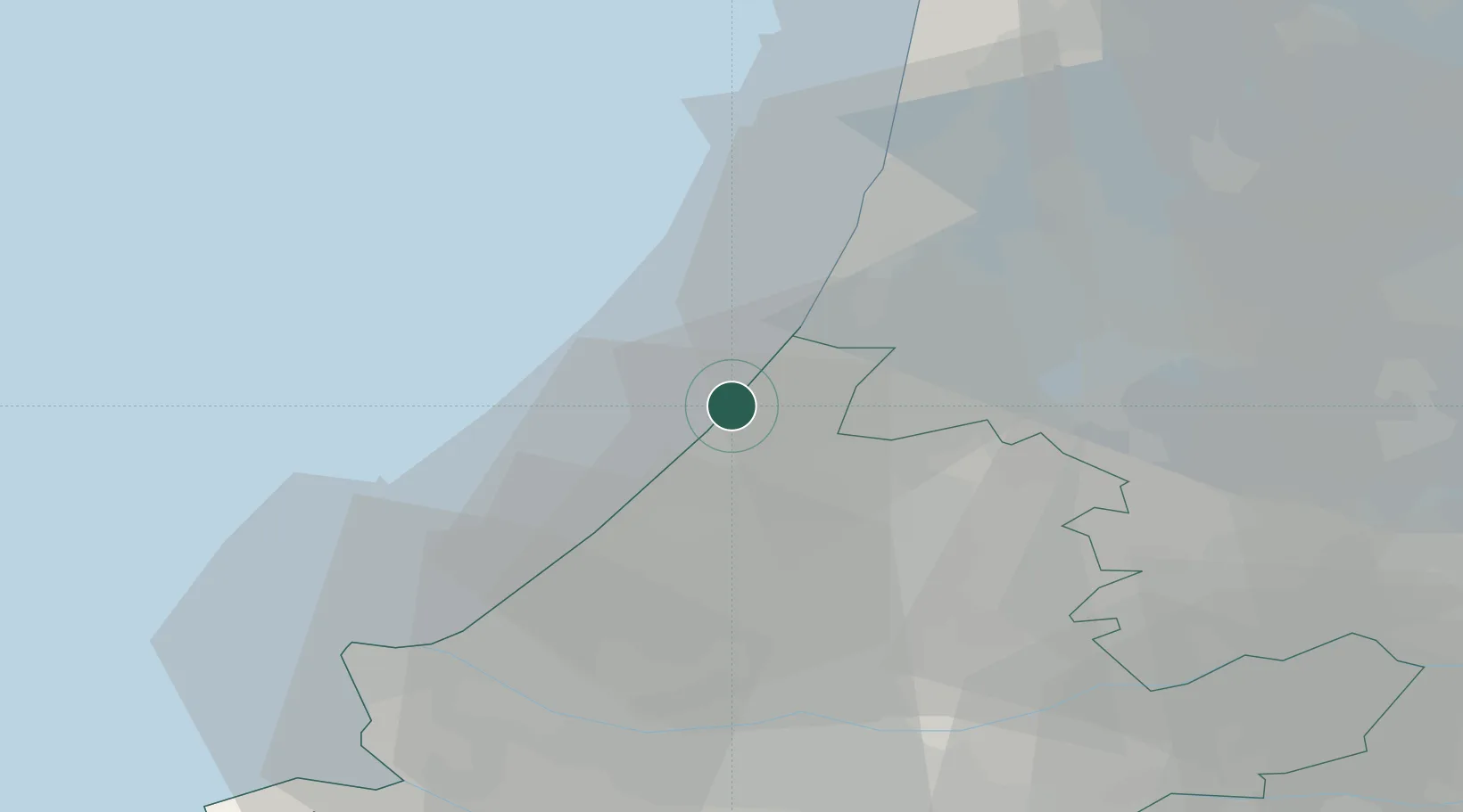
Location
Nearby Logistics Neighbours
Cities
- 1Katwijk aan den Rijn6 km
- 2Oud Ade11 km
- 3Rijpwetering12 km
- 4Hoogmade14 km
- 5Zwaanshoek15 km
Ports
- 1Scheveningen20 km
- 2Ijmuiden26 km
- 3Zaandam34 km
- 4Amsterdam34 km
- 5Schiedam39 km
Airports
Trade Zones
- 1Freeport of Duisburg173 km
- 2ZFU Tourcoing191 km
- 3ZFU Hem et Roubaix195 km
- 4ZFU Saint Pol sur Mer198 km
- 5Rheinische Revier SWZ201 km
DatabookThe Record of Consolidated Knowledge
Netherlands beyond logistics?