Transport Functions
Multimodal
Hub Profile
Place type
Populated place
Region
South Holland
Time zone
Europe/Amsterdam
Elevation
-1 m
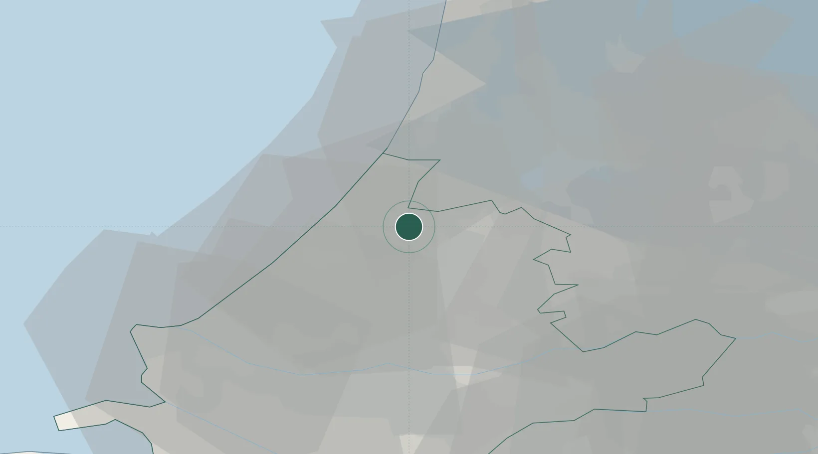
Location
Nearby Logistics Neighbours
Cities
- 1Rijpwetering3 km
- 2Hoogmade3 km
- 3Groenendijk6 km
- 4Zoeterwoude8 km
- 5Rijnsaterwoude8 km
Ports
- 1Scheveningen21 km
- 2Amsterdam31 km
- 3Ijmuiden32 km
- 4Rotterdam32 km
- 5Schiedam33 km
Airports
- 1Amsterdam Airport Schiphol20 km
- 2Rotterdam The Hague Airport26 km
- 3Lelystad Airport72 km
- 4Gilze Rijen Air Base73 km
- 5Woensdrecht Air Base83 km
Trade Zones
- 1Freeport of Duisburg162 km
- 2ZFU Tourcoing189 km
- 3Rheinische Revier SWZ190 km
- 4ZFU Hem et Roubaix192 km
- 5ZFU Saint Pol sur Mer200 km
DatabookThe Record of Consolidated Knowledge
Netherlands beyond logistics?