Transport Functions
Port
Road
Hub Profile
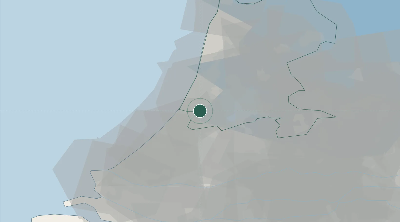
Place type
Populated place
Region
North Holland
Population
1,455
Time zone
Europe/Amsterdam
Elevation
-3 m
Location
Nearby Logistics Neighbours
Cities
- 1Nieuwe Brug7 km
- 2Overveen8 km
- 3Haarlemmerliede9 km
- 4Leimuiderbrug10 km
- 5Rijsenhout10 km
Ports
- 1Ijmuiden17 km
- 2Zaandam20 km
- 3Amsterdam20 km
- 4Scheveningen34 km
- 5Rotterdam47 km
Airports
Trade Zones
- 1Freeport of Duisburg166 km
- 2Rheinische Revier SWZ198 km
- 3ZFU Tourcoing204 km
- 4Freeport of Emden207 km
- 5ZFU Hem et Roubaix207 km
DatabookThe Record of Consolidated Knowledge
Netherlands beyond logistics?