UN/LOCODE hub · Netherlands
NLKWR
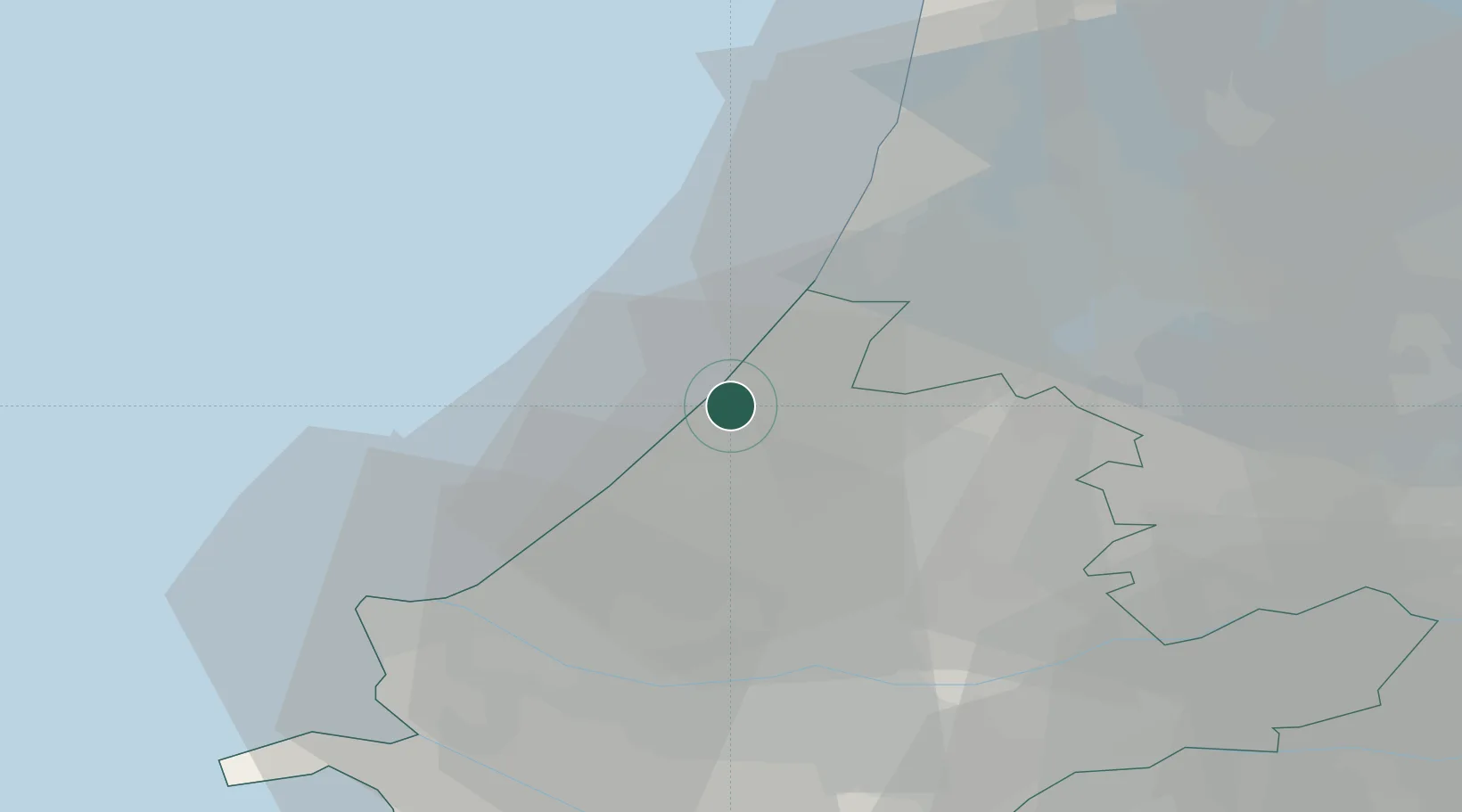
Katwijk aan den Rijn
52.2000°, 4.4167°
5,940
Population
2
Transport functions
Transport Functions
Port
Road
Hub Profile
Place type
Populated place
Region
South Holland
Population
5,940
Time zone
Europe/Amsterdam
Elevation
3 m
Location
Nearby Logistics Neighbours
Cities
- 1Noordwijk aan Zee6 km
- 2Oud Ade9 km
- 3Zoeterwoude11 km
- 4Rijpwetering11 km
- 5Stompwijk12 km
Ports
- 1Scheveningen15 km
- 2Ijmuiden32 km
- 3Schiedam33 km
- 4Maassluis34 km
- 5Rotterdam34 km
Airports
- 1Amsterdam Airport Schiphol27 km
- 2Rotterdam The Hague Airport27 km
- 3Gilze Rijen Air Base79 km
- 4Lelystad Airport80 km
- 5Woensdrecht Air Base84 km
Trade Zones
- 1Freeport of Duisburg171 km
- 2ZFU Tourcoing186 km
- 3ZFU Hem et Roubaix189 km
- 4ZFU Saint Pol sur Mer194 km
- 5Rheinische Revier SWZ198 km
DatabookThe Record of Consolidated Knowledge
Netherlands beyond logistics?