Transport Functions
Multimodal
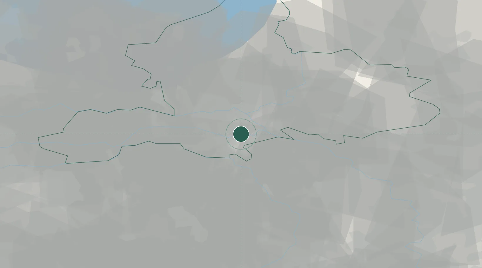
Hub Profile
Place type
Populated place
Region
Gelderland
Population
1,070
Time zone
Europe/Amsterdam
Elevation
12 m
Location
Nearby Logistics Neighbours
Airports
- 1Deelen Air Base22 km
- 2Volkel Air Base27 km
- 3Weeze (Niederrhein) Airport33 km
- 4Eindhoven Airport60 km
- 5Lelystad Airport71 km
Trade Zones
- 1Freeport of Duisburg66 km
- 2Rheinische Revier SWZ111 km
- 3Freeport of Emden185 km
- 4ZFU Condé sur lEscaut226 km
- 5ZFU Maubeuge, Louvroil226 km
DatabookThe Record of Consolidated Knowledge
Netherlands beyond logistics?