Transport Functions
Port
Road
Hub Profile
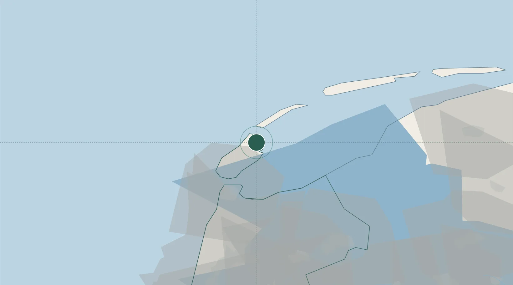
Place type
Populated place
Region
North Holland
Population
535
Time zone
Europe/Amsterdam
Elevation
1 m
Location
Nearby Logistics Neighbours
Cities
- 1Oudeschild13 km
- 2't Horntje18 km
- 3Molengat19 km
- 4Den Helder24 km
- 5Stroe25 km
Ports
- 1Den Helder22 km
- 2Harlingen36 km
- 3Ijmuiden79 km
- 4Zaandam80 km
- 5Amsterdam87 km
Airports
Trade Zones
DatabookThe Record of Consolidated Knowledge
Netherlands beyond logistics?