Transport Functions
Port
Road
Hub Profile
Place type
Populated place
Region
Flevoland
Population
2,455
Time zone
Europe/Amsterdam
Elevation
-4 m
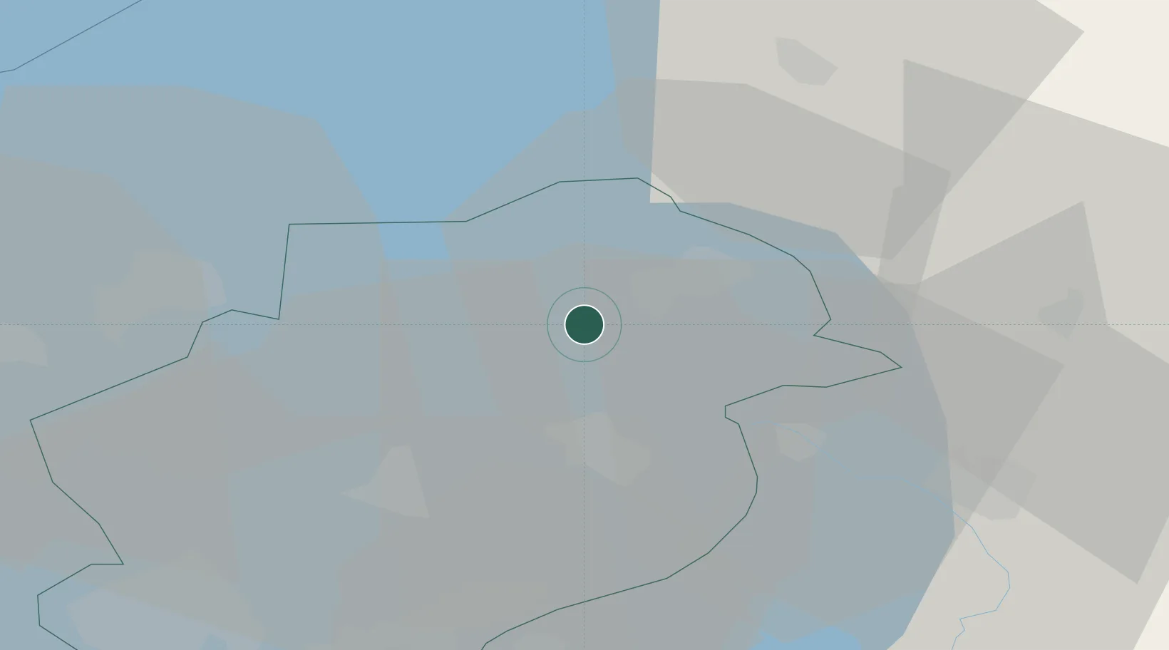
Location
Nearby Logistics Neighbours
Cities
- 1Creil9 km
- 2Bant10 km
- 3Ketelhaven12 km
- 4Rutten13 km
- 5Schoterzijl17 km
Ports
- 1Harlingen58 km
- 2Amsterdam64 km
- 3Zaandam64 km
- 4Den Helder68 km
- 5Ijmuiden78 km
Airports
Trade Zones
DatabookThe Record of Consolidated Knowledge
Netherlands beyond logistics?